Finnerty Gardens, Victoria
Map

Map

Facts and practical information
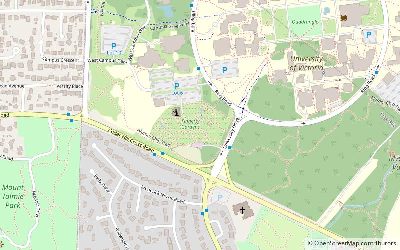
Finnerty Gardens is a public woodland garden located on and maintained by the University of Victoria in Victoria, British Columbia, Canada. Its main feature is the sizeable collection of rhododendrons artfully arranged throughout the 2.7 hectare site. There are 500 variations of rhododendrons and rhododendron hybrids on the grounds, in addition to 1,600 trees and shrubs, mostly of native varieties. There are numerous paths and benches throughout the garden winding through and around three ponds located on the site. ()
Elevation: 213 ft a.s.l.Coordinates: 48°27'37"N, 123°18'58"W
Day trips
Finnerty Gardens – popular in the area (distance from the attraction)
Nearby attractions include: Hillside Shopping Centre, Mystic Vale, Camosun College, Mount Tolmie.
Frequently Asked Questions (FAQ)
Which popular attractions are close to Finnerty Gardens?
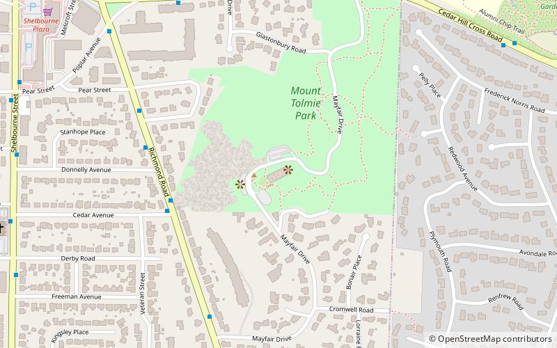
Nearby attractions include University of Victoria, Victoria (8 min walk), Mystic Vale, Victoria (12 min walk), Mount Tolmie, Victoria (13 min walk), Camosun College, Victoria (24 min walk).
How to get to Finnerty Gardens by public transport?
The nearest stations to Finnerty Gardens:
Bus
Bus
- University Drive at Ring Road • Lines: 14, 15, 7 (2 min walk)
- Cedar Hill Cross at University Dr • Lines: 14 (3 min walk)


