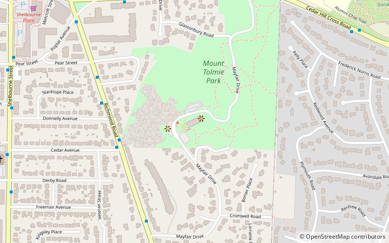
Mount Tolmie, Victoria

Map
Facts and practical information
Mount Tolmie, elevation 120 m, is a small mountain and surrounding neighbourhood in Saanich, Greater Victoria, British Columbia. It is located on the ancestral lands of the Saanich and Songhees people. The majority of the mountain forms Mount Tolmie Park, a municipal park, while the south side has several private residences. The peak of the mountain is known for its excellent views of Victoria, the Olympic Mountains, and the San Juan Islands. ()
Coordinates: 48°27'25"N, 123°19'29"W
Address
Mount TolmieVictoria
ContactAdd
Social media
Add
Day trips
Mount Tolmie – popular in the area (distance from the attraction)
Nearby attractions include: Hillside Shopping Centre, Finnerty Gardens, Mystic Vale, Camosun College.
Frequently Asked Questions (FAQ)
Which popular attractions are close to Mount Tolmie?
Nearby attractions include Finnerty Gardens, Victoria (13 min walk), Camosun College, Victoria (16 min walk), University of Victoria, Victoria (20 min walk), Mystic Vale, Victoria (23 min walk).
How to get to Mount Tolmie by public transport?
The nearest stations to Mount Tolmie:
Bus
Bus
- Richmond at Cedar • Lines: 14 (5 min walk)


