Mystic Vale, Victoria
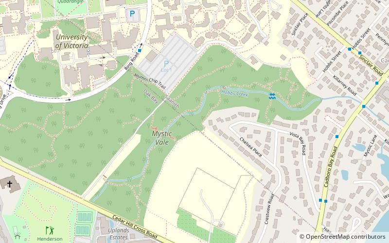
Map

Gallery

Facts and practical information
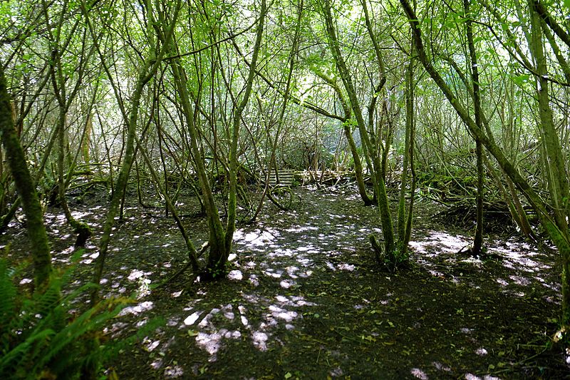
Mystic Vale is a forested ravine that was acquired by the University of Victoria, British Columbia, Canada, in 1993. It is located outside the ring road to the southeast of campus. Its tree canopy is dominated by large specimens of Douglas-fir and grand fir. A few western red cedar also occur. Scattered among these conifers are deciduous trees such as bigleaf maple, black cottonwood, and willow. Some Garry oak is present at the forest edge. Canada's only native broadleaf evergreen tree, the arbutus, is also present. ()
Elevation: 197 ft a.s.l.Coordinates: 48°27'35"N, 123°18'22"W
Day trips
Mystic Vale – popular in the area (distance from the attraction)
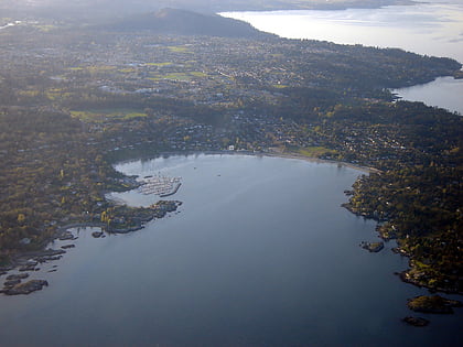
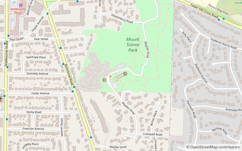
Nearby attractions include: Finnerty Gardens, Camosun College, Cadboro Bay, Mount Tolmie.
Frequently Asked Questions (FAQ)
Which popular attractions are close to Mystic Vale?
Nearby attractions include University of Victoria, Victoria (9 min walk), Finnerty Gardens, Victoria (12 min walk), Mount Tolmie, Victoria (23 min walk).
How to get to Mystic Vale by public transport?
The nearest stations to Mystic Vale:
Bus
Bus
- Ring Road at Parking Lot 1 • Lines: 14, 15, 4, 7 (5 min walk)
- Cadboro Bay at Bermuda • Lines: 11 (8 min walk)


