Ballantrae, Whitchurch-Stouffville
Map
Facts and practical information
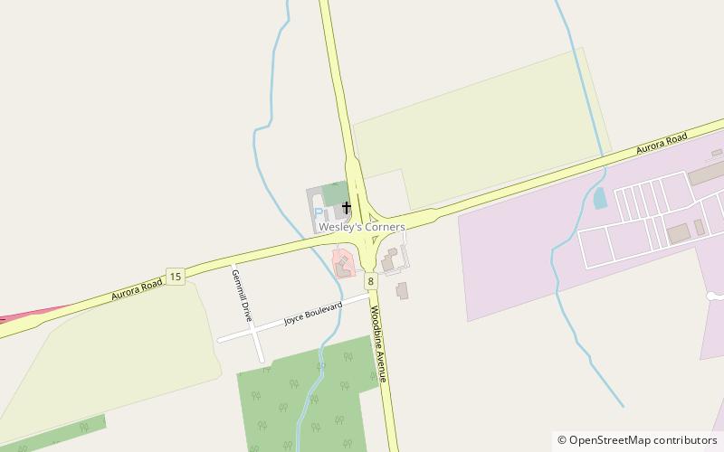
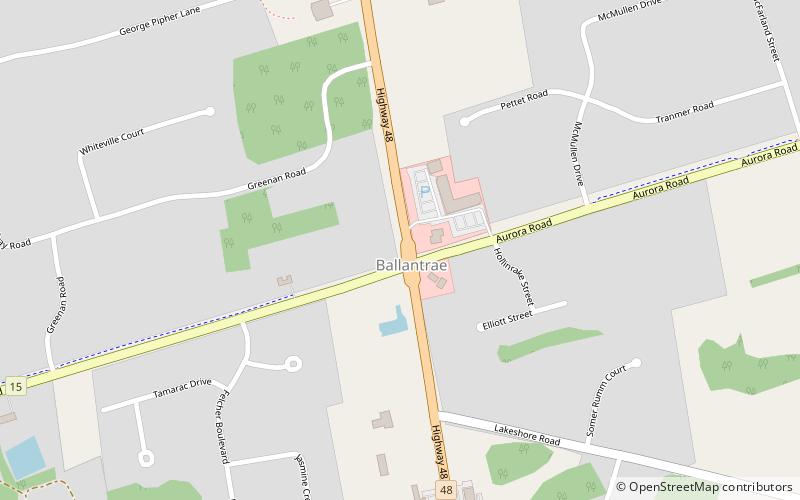
Ballantrae, Ontario is a hamlet in the Town of Whitchurch–Stouffville. Named after the village of Ballantrae in South Ayrshire, Scotland, the community is centred on the intersection of Aurora Road and Highway 48. ()
Coordinates: 44°2'17"N, 79°17'51"W
Address
Rural Whitchurch-Stouffville (Ballantrae)Whitchurch-Stouffville
ContactAdd
Social media
Add
Day trips
Ballantrae – popular in the area (distance from the attraction)
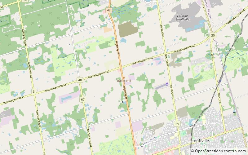
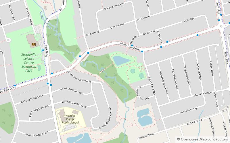
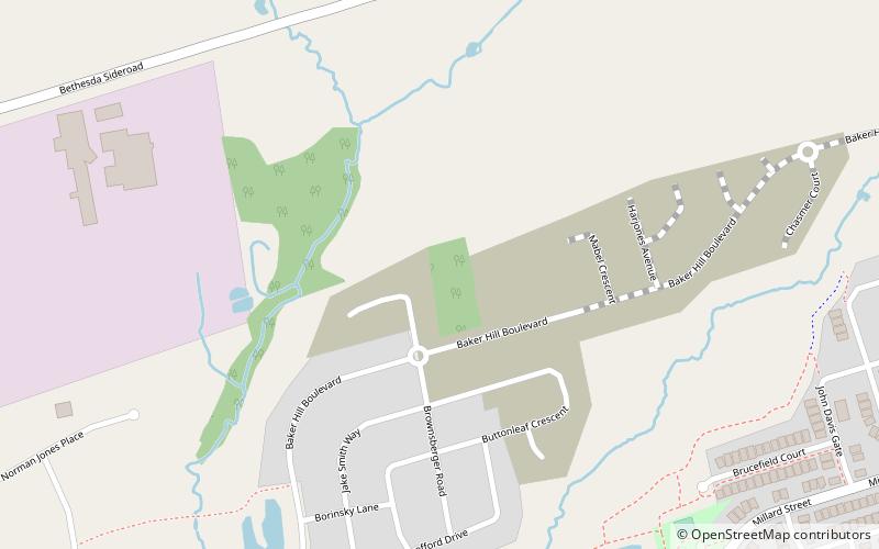
Nearby attractions include: Nineteen on the Park, Whitchurch–Stouffville Public Library, Baker Hill, Whitchurch-Stouffville Museum & Community Centre.


