David Pecaut Square, Toronto
Map

Gallery

Facts and practical information
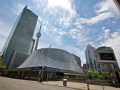
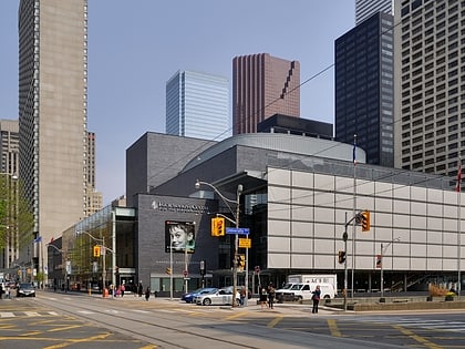
Pecaut Square is a large concrete-and granite-clad plaza located in front of Metro Hall in Toronto, Ontario, Canada. The square supports the PATH network connection between Metro Hall and nearby buildings such as Metro Centre. Glass pavilions provide access to the PATH network. ()
Opened: 1992 (34 years ago)Elevation: 269 ft a.s.l.Coordinates: 43°38'47"N, 79°23'15"W
Address
225 King St. WDowntown Toronto (Entertainment District)Toronto M5V 3C6
ContactAdd
Social media
Add
Day trips
David Pecaut Square – popular in the area (distance from the attraction)
Nearby attractions include: CN Tower, First Canadian Place, Ripley's Aquarium of Canada, Campbell House.
Frequently Asked Questions (FAQ)
Which popular attractions are close to David Pecaut Square?
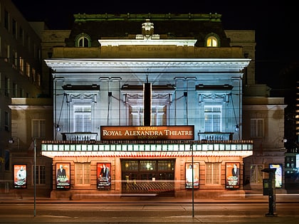
Nearby attractions include Metro Hall, Toronto (2 min walk), Roy Thomson Hall, Toronto (2 min walk), Toronto Entertainment District, Toronto (2 min walk), Royal Alexandra Theatre, Toronto (2 min walk).
How to get to David Pecaut Square by public transport?
The nearest stations to David Pecaut Square:
Tram
Metro
Train
Bus
Ferry
Tram
- John Street • Lines: 504A, 504B (4 min walk)
- University Avenue, St. Andrew Station • Lines: 504A, 504B (4 min walk)
Metro
- St. Andrew • Lines: 1 (5 min walk)
- Osgoode • Lines: 1 (8 min walk)
Train
- Toronto Union Station (10 min walk)
Bus
- King Street West • Lines: 19 (11 min walk)
- Adelaide Street West • Lines: 19 (11 min walk)
Ferry
- Jack Layton Ferry Terminal • Lines: Toronto Island Ferry, Ward's Island (20 min walk)
- Bathurst Street Terminal • Lines: Billy Bishop Airport Ferry (26 min walk)

 Subway
 Streetcar system
 PATH
PATH