St. Patrick's Church, Toronto
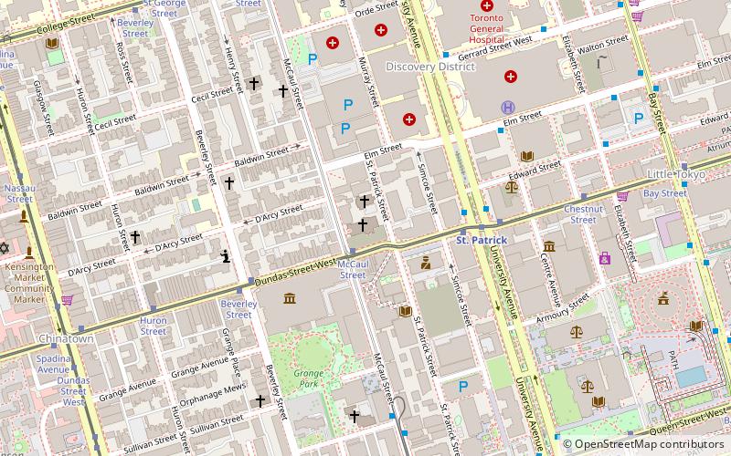
Map
Map

Facts and practical information
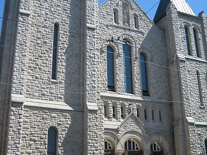
St. Patrick's Roman Catholic Church on McCaul Street in Toronto, Ontario, Canada, is the church for the city's fifth oldest Roman Catholic parish. St. Patrick subway station nearby and the adjacent St. Patrick Street were named after the church. St. Patrick's is the home of the Canadian National Shrine of Our Mother of Perpetual Help. The German-speaking Catholic community in Toronto holds services in the church as well. ()
Completed: 1908 (118 years ago)Architectural style: Romanesque revivalCoordinates: 43°39'17"N, 79°23'28"W
Day trips
St. Patrick's Church – popular in the area (distance from the attraction)
Nearby attractions include: Art Gallery of Ontario, OCAD University, Law Society of Ontario Archives, Campbell House.
Frequently Asked Questions (FAQ)
Which popular attractions are close to St. Patrick's Church?
Nearby attractions include Art Gallery of Ontario, Toronto (3 min walk), OCAD University, Toronto (4 min walk), Feminist Art Gallery, Toronto (4 min walk), Royal Canadian Military Institute, Toronto (4 min walk).
How to get to St. Patrick's Church by public transport?
The nearest stations to St. Patrick's Church:
Tram
Metro
Bus
Train
Ferry
Tram
- McCaul Street • Lines: 505 (2 min walk)
- University Avenue • Lines: 505 (3 min walk)
Metro
- St. Patrick • Lines: 1 (4 min walk)
- Queen's Park • Lines: 1 (9 min walk)
Bus
- Dundas Street West • Lines: 19 (10 min walk)
- Elm Street • Lines: 19 (10 min walk)
Train
- Toronto Union Station (23 min walk)
Ferry
- Jack Layton Ferry Terminal • Lines: Toronto Island Ferry, Ward's Island (33 min walk)
 Subway
 Streetcar system
 PATH
PATH


