Nepean Creek Park, Ottawa
Map
Facts and practical information
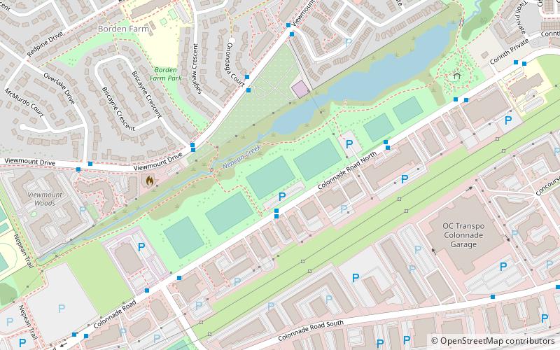
Nepean Creek Park is a linear watershed park, in Ottawa, Ontario, Canada. It is part of the Greenbelt master plan of the National Capital Commission. ()
Elevation: 262 ft a.s.l.Coordinates: 45°20'41"N, 75°43'3"W
Address
19 Colonnade Road NorthHunt Club South IndustrialOttawa
ContactAdd
Social media
Add
Day trips
Nepean Creek Park – popular in the area (distance from the attraction)
Nearby attractions include: Nepean Museum, Metropolitan Bible Church, Canadian Northern Ontario Railway Federal Bridge, Parkwood Hills.
Frequently Asked Questions (FAQ)
How to get to Nepean Creek Park by public transport?
The nearest stations to Nepean Creek Park:
Bus
Bus
- Colonnade / 40 Colonnade • Lines: 89 (2 min walk)
- Viewmount / Biscayne • Lines: 111, 89 (4 min walk)

