Strathcona Park, Ottawa
Map

Gallery
Facts and practical information
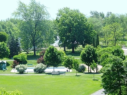
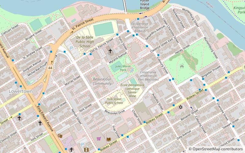
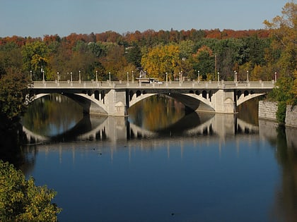
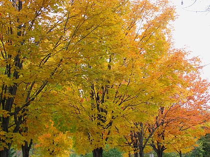
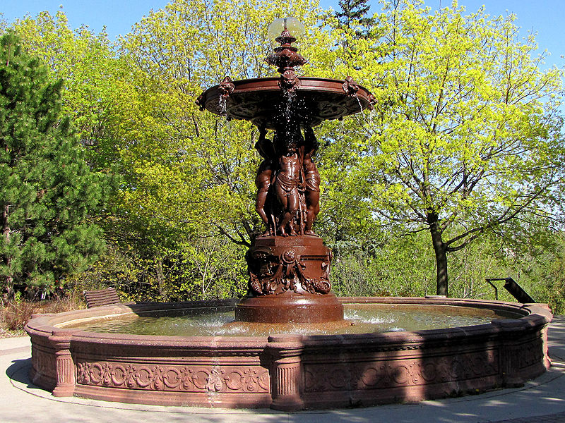
Strathcona Park is a large park in Ottawa, Ontario, Canada. It lies on the west bank of the Rideau River and marks the eastern edge of the Sandy Hill neighbourhood. ()
Elevation: 180 ft a.s.l.Coordinates: 45°25'36"N, 75°40'18"W
Address
Range Rd, between Laurier Ave. E and TempletonSandy HillOttawa
Contact
+1 613-564-3093
Social media
Day trips
Strathcona Park – popular in the area (distance from the attraction)
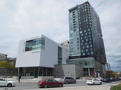
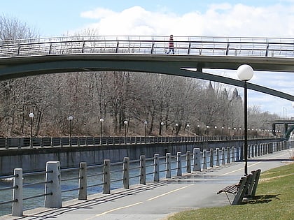
Nearby attractions include: Ottawa Art Gallery, Ottawa Senators, Adàwe Crossing, Corktown Footbridge.
Frequently Asked Questions (FAQ)
Which popular attractions are close to Strathcona Park?
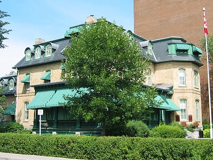
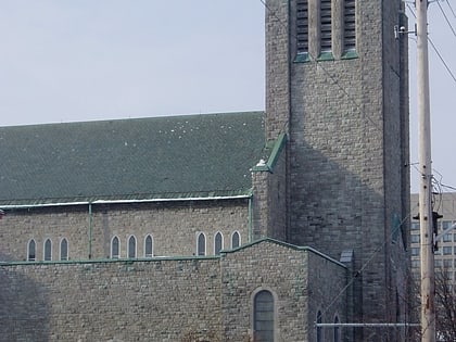
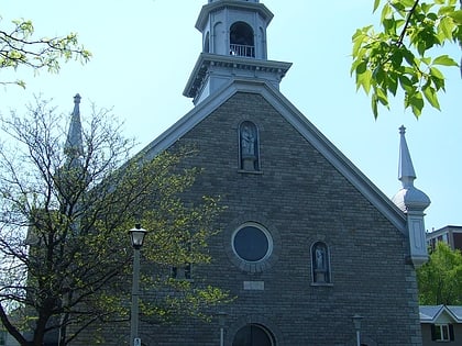
Nearby attractions include Adàwe Crossing, Ottawa (3 min walk), Embassy Row, Ottawa (7 min walk), All Saints Anglican Church, Ottawa (8 min walk), Bate-Fenton House, Ottawa (8 min walk).
How to get to Strathcona Park by public transport?
The nearest stations to Strathcona Park:
Bus
Light rail
Train
Bus
- Somerset E / Goulbourn • Lines: 16 (4 min walk)
- Laurier E / Range • Lines: 19 (5 min walk)
Light rail
- UOttawa O-Train West/Ouest • Lines: 1 (18 min walk)
- Lees O-Train East/Est • Lines: 1 (19 min walk)
Train
- Ottawa (31 min walk)
