Cummings Bridge, Ottawa
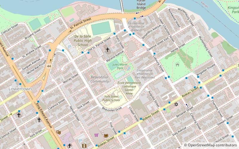
Map
Gallery
Facts and practical information
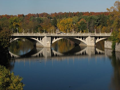
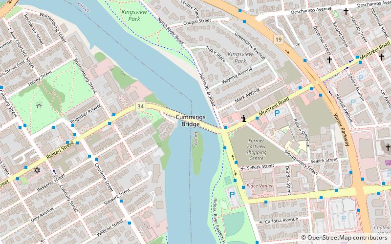
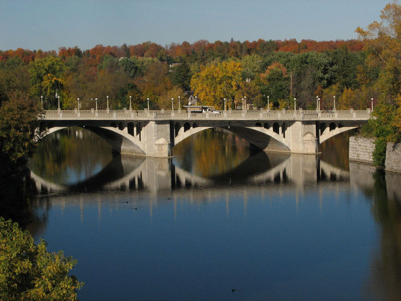
The Cummings Bridge in Ottawa, Ontario, Canada, crosses the Rideau River, connecting Rideau Street to Montreal Road in Vanier. It is a multi-span open spandrel arch bridge, constructed in 1921 and renovated in 1996. ()
Length: 699 ftWidth: 60 ftCoordinates: 45°25'60"N, 75°40'16"W
Address
657 Rideau Street to Montreal RdVanierOttawa K1N 6A3
ContactAdd
Social media
Add
Day trips
Cummings Bridge – popular in the area (distance from the attraction)
Nearby attractions include: Ottawa Senators, Adàwe Crossing, Laurier House, St. Joseph.
Frequently Asked Questions (FAQ)
Which popular attractions are close to Cummings Bridge?
Nearby attractions include Place Vanier, Ottawa (5 min walk), Bate-Fenton House, Ottawa (9 min walk), Embassy Row, Ottawa (10 min walk), Strathcona Park, Ottawa (12 min walk).
How to get to Cummings Bridge by public transport?
The nearest stations to Cummings Bridge:
Bus
Light rail
Train
Bus
- Montréal / North River • Lines: 12, 15 (2 min walk)
- North River / Montréal • Lines: 14, 18 (3 min walk)
Light rail
- UOttawa O-Train West/Ouest • Lines: 1 (27 min walk)
- Rideau O-Train West/Ouest • Lines: 1 (28 min walk)
Train
- Ottawa (39 min walk)
