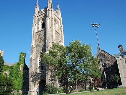
University College, Toronto
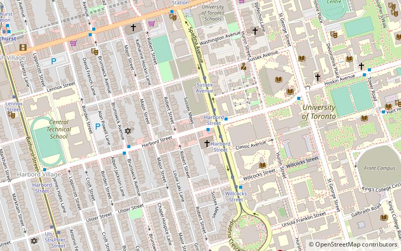
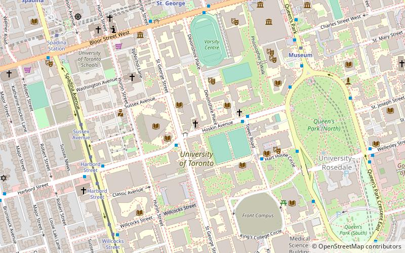
Map
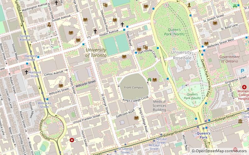
Map

Facts and practical information
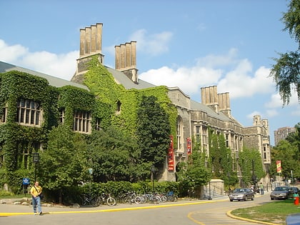
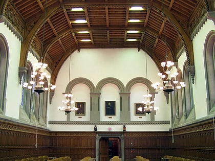
University College, popularly referred to as UC, is a constituent college of the University of Toronto, created in 1853 specifically as an institution of higher learning free of religious affiliation. It was the founding member of the university's modern collegiate system, and its non-denominationalism contrasted with contemporary colleges at the time, such as Trinity College and St. Michael's College, both of which later became part of the University of Toronto. ()
Coordinates: 43°39'44"N, 79°23'45"W
Address
15 Kings College CircleDowntown Toronto (University of Toronto)Toronto
Contact
Social media
Add
Day trips
University College – popular in the area (distance from the attraction)
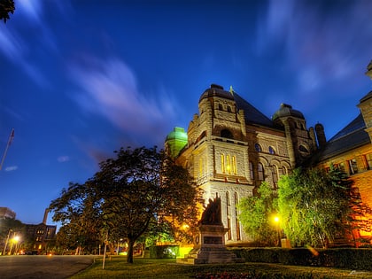
Nearby attractions include: Philosopher's Walk, Hart House, Queen's Park, Ontario Legislative Building.
Frequently Asked Questions (FAQ)
Which popular attractions are close to University College?
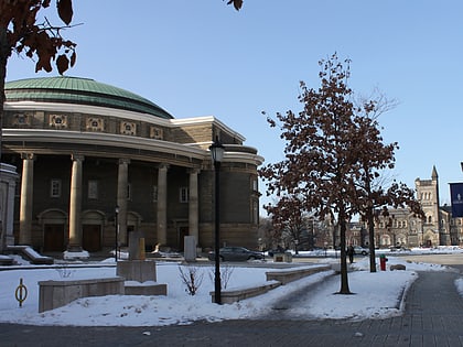
Nearby attractions include Toronto Magnetic and Meteorological Observatory, Toronto (3 min walk), Soldiers' Tower, Toronto (3 min walk), Gerstein Science Information Centre, Toronto (3 min walk), Convocation Hall, Toronto (3 min walk).
How to get to University College by public transport?
The nearest stations to University College:
Bus
Tram
Metro
Bus
- Tower Road • Lines: 94A (5 min walk)
- St George Street • Lines: 94A (5 min walk)
Tram
- St George Street • Lines: 306, 506 (6 min walk)
- McCaul Street • Lines: 306, 506 (7 min walk)
Metro
- Queen's Park • Lines: 1 (9 min walk)
- Museum • Lines: 1 (9 min walk)
 Subway
 Streetcar system
 PATH
PATH
