Wellington Street, Montreal
Map
Gallery
Facts and practical information
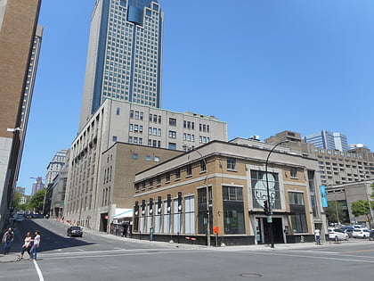
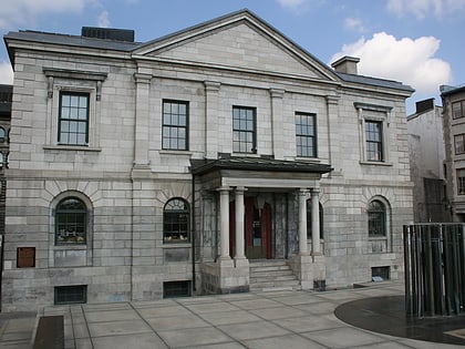
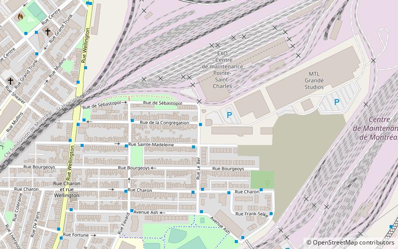
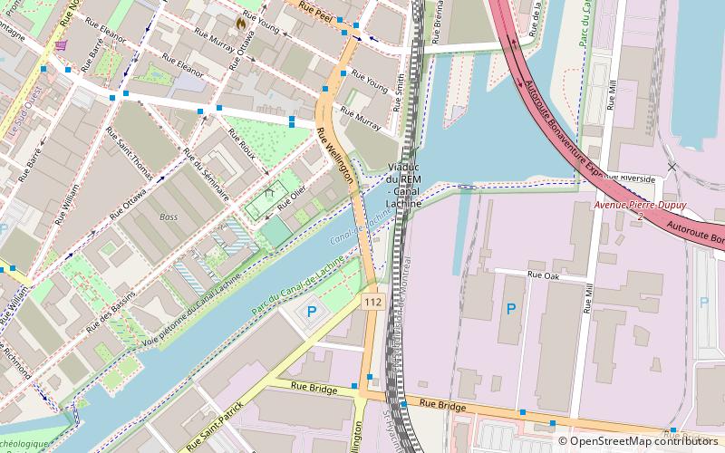
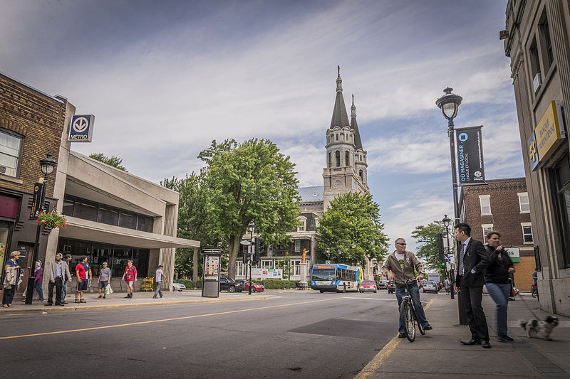
Wellington Street is an east-west thoroughfare located in Montreal, Quebec, Canada. It starts at LaSalle Boulevard in the borough of Verdun, passes through Pointe-Saint-Charles and Griffintown in the borough of Le Sud-Ouest, and terminates at McGill Street in Old Montreal in the borough of Ville-Marie. Wellington Street spans 5.7 km in length. ()
Length: 3.54 miCoordinates: 45°29'24"N, 73°33'26"W
Address
Le Sud-QuestMontreal
ContactAdd
Social media
Add
Day trips
Wellington Street – popular in the area (distance from the attraction)
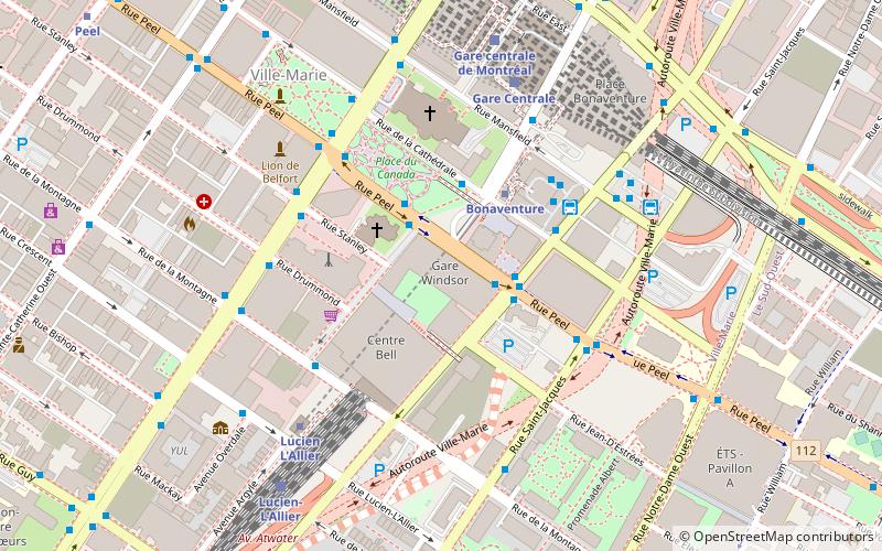
Nearby attractions include: Bell Centre, Centre d'histoire de Montréal, Time Supper Club, Place Bonaventure.
Frequently Asked Questions (FAQ)
Which popular attractions are close to Wellington Street?
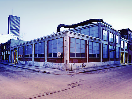
Nearby attractions include Griffintown, Montreal (7 min walk), Griffintown Horse Palace, Montreal (8 min walk), Montreal Public Libraries Network, Montreal (12 min walk), Fonderie Darling, Montreal (14 min walk).
How to get to Wellington Street by public transport?
The nearest stations to Wellington Street:
Bus
Metro
Train
Bus
- de la Montagne / du Square-Gallery • Lines: 35-E (4 min walk)
- de la Montagne / Wellington • Lines: 35-O (4 min walk)
Metro
- Bonaventure • Lines: 2 (19 min walk)
- Lucien L'Allier • Lines: 2 (19 min walk)
Train
- Lucien-L'Allier (19 min walk)
- Montreal Central Station (22 min walk)
 Metro
Metro

