Drummond Methodist Church, Ottawa
Map
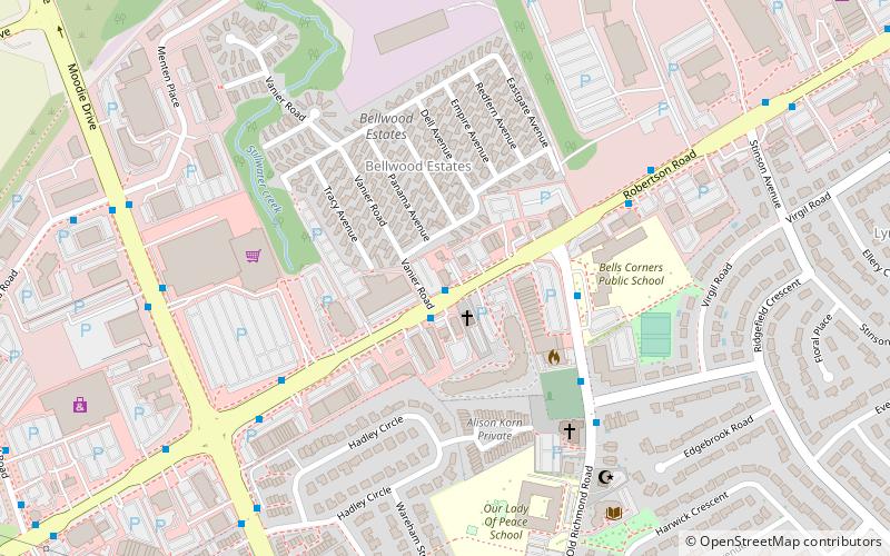
Map

Facts and practical information
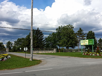
The Drummond Presbyterian Church is a former church building in Bells Corners, a suburban community in College Ward in the city of Ottawa, Canada. The building was constructed in 1898 on the northern side of what is now known as Robertson Road, using stone from the demolished Union Church on Old Richmond Road. In 1925 it became the United Church and was used until 1962 when the new United Church was completed. ()
Coordinates: 45°19'27"N, 75°49'44"W
Address
2027 Robertson RoadBell's CornerOttawa
ContactAdd
Social media
Add
Day trips
Drummond Methodist Church – popular in the area (distance from the attraction)
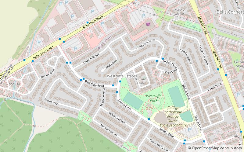
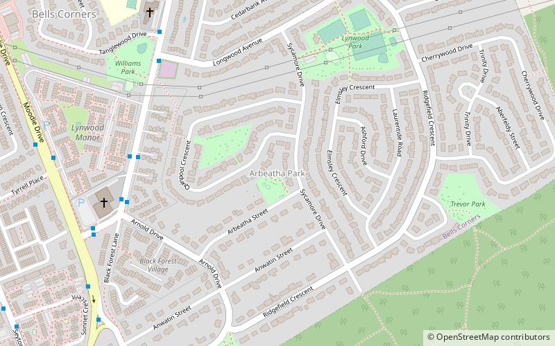
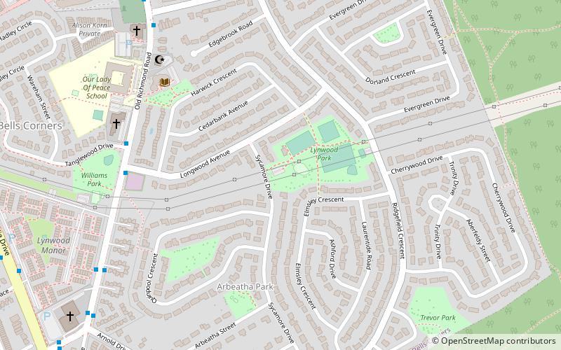
Nearby attractions include: Wesley Clover Parks, Westcliffe Estates, Arbeatha Park, Lynwood Village.
Frequently Asked Questions (FAQ)
Which popular attractions are close to Drummond Methodist Church?
Nearby attractions include Lynwood Village, Ottawa (13 min walk), Arbeatha Park, Ottawa (16 min walk), Westcliffe Estates, Ottawa (17 min walk).
How to get to Drummond Methodist Church by public transport?
The nearest stations to Drummond Methodist Church:
Bus
Bus
- Robertson / Vanier • Lines: 88 (1 min walk)
- Old Richmond / Robertson • Lines: 251, 57, 88 (4 min walk)

