Wesley Clover Parks, Ottawa
Map
Map

Facts and practical information
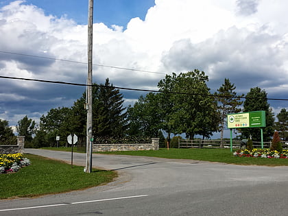
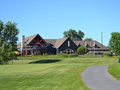
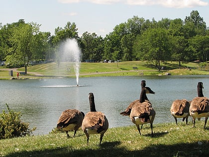
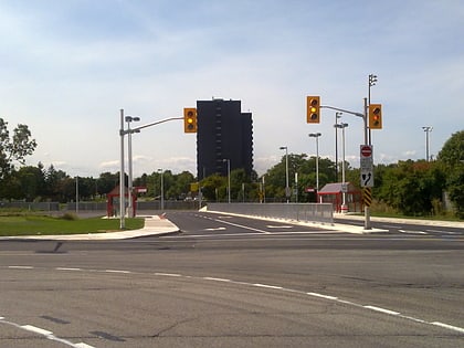
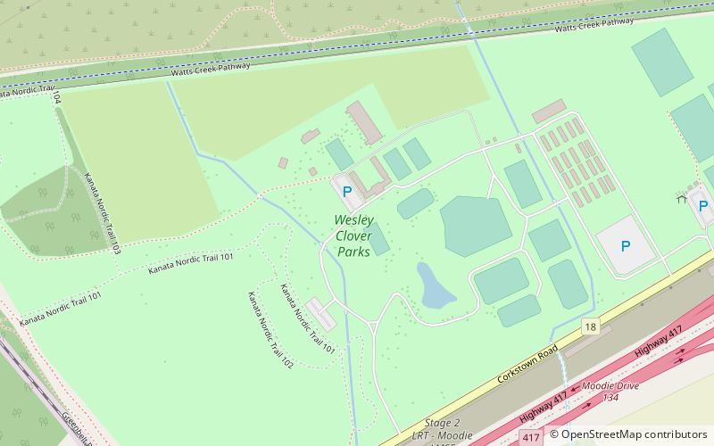
The Wesley Clover Parks are recreational parklands in Ottawa, Ontario, Canada, located at the intersection of the 416 and 417 highways in the former city of Nepean. Wesley Clover Parks was established in 2014 when the Wesley Clover Foundation took over operations of the former Nepean National Equestrian Park, and the adjacent Ottawa Municipal Campground. ()
Opened: 2014 (12 years ago)Elevation: 236 ft a.s.l.Coordinates: 45°20'19"N, 75°51'12"W
Day trips
Wesley Clover Parks – popular in the area (distance from the attraction)
Nearby attractions include: Bayshore Shopping Centre, Marshes Golf Club, Hazeldean Mall, Andrew Haydon Park.
Frequently Asked Questions (FAQ)
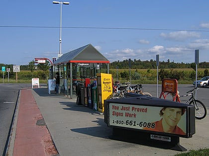
How to get to Wesley Clover Parks by public transport?
The nearest stations to Wesley Clover Parks:
Bus
Bus
- Hwy 417/Moodie • Lines: 301, 303, 61 (16 min walk)
- Moodie / Ramp • Lines: 158, 252, 256, 58 (17 min walk)
