Kirkland Island, Richmond
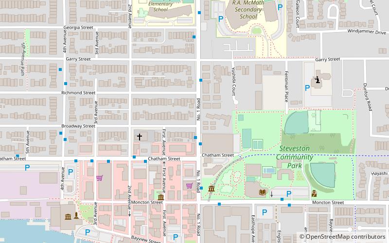
Map
Facts and practical information
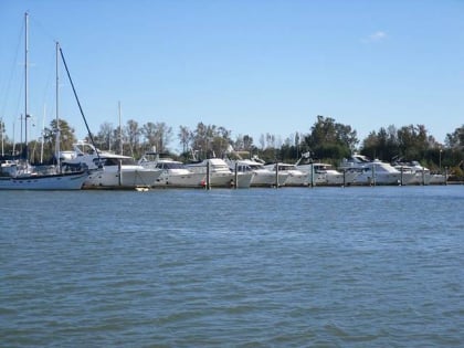
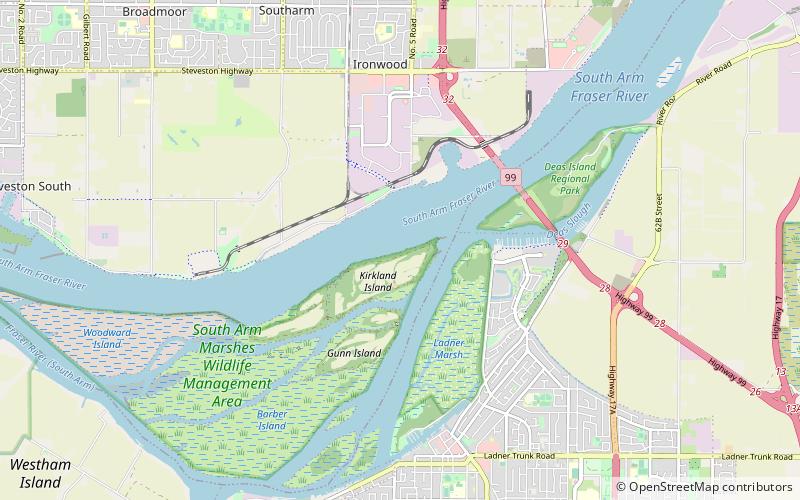
Kirkland Island, also known as Rose-Kirkland Island, is located within the municipality of Richmond, British Columbia and is part of a small alluvial archipelago known as the South Arm Marshes located within the Ladner Reach of the South Arm of the Fraser River in British Columbia, Canada. It is the northernmost island of the group and lies between Richmond on Lulu Island in the north and Delta and Ladner town centre in the south. ()
Coordinates: 49°6'48"N, 123°5'38"W
Address
Richmond
ContactAdd
Social media
Add
Day trips
Kirkland Island – popular in the area (distance from the attraction)
Nearby attractions include: International Buddhist Temple, Ladner Leisure Centre, Westham Island Bridge, Steveston.
Frequently Asked Questions (FAQ)
Which popular attractions are close to Kirkland Island?
Nearby attractions include Captain's Cove Marina, Delta (20 min walk), Finn Slough, Richmond (24 min walk).
How to get to Kirkland Island by public transport?
The nearest stations to Kirkland Island:
Bus
Bus
- Ferry Road at 5900 Block • Lines: 618 (19 min walk)
- Admiral Way at Ferry Rd • Lines: 618 (20 min walk)


