Lulu Island, Richmond
Map
Facts and practical information
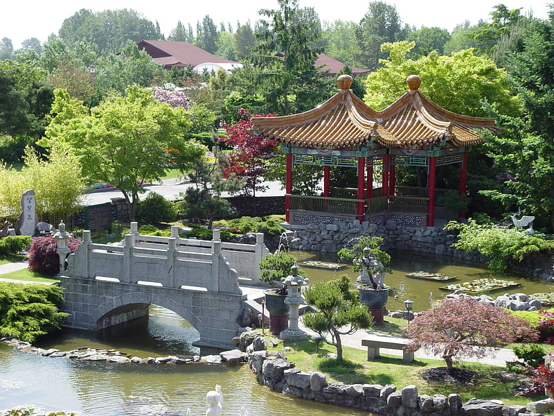
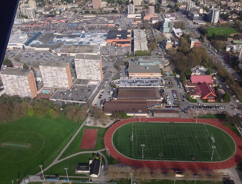
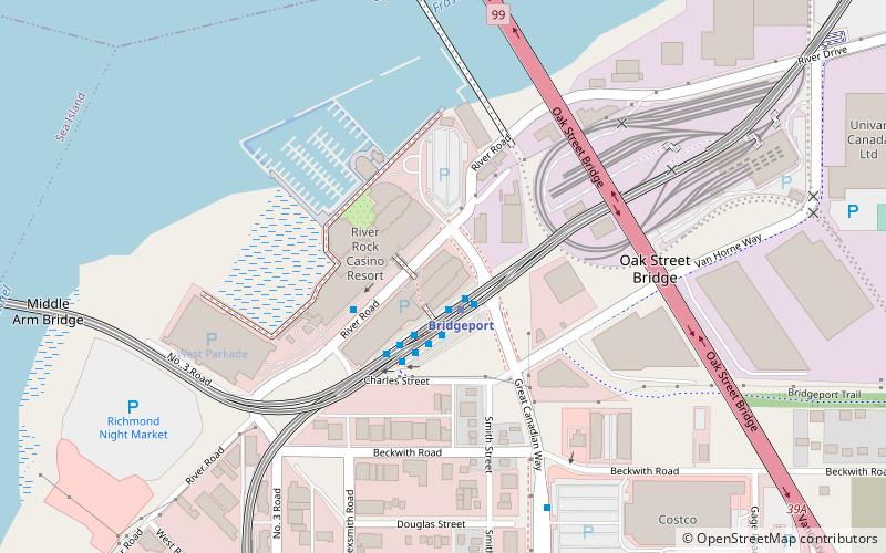
Lulu Island is the name of the largest island in the estuary of the Fraser River, located south of Vancouver, British Columbia, and the second-most populous island in British Columbia, after Vancouver Island. The city of Richmond occupies most of the island, while a small section at the eastern tip, known as Queensborough, is part of the city of New Westminster. ()
Address
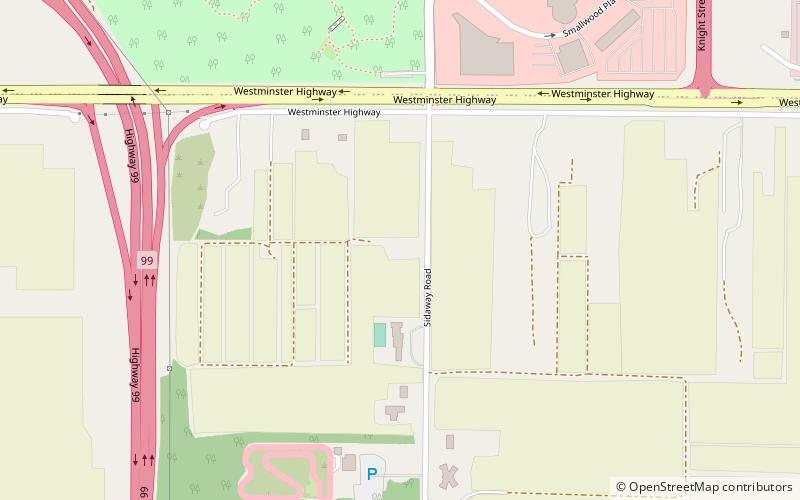
East RichmondRichmond
ContactAdd
Social media
Add
Getting there by public transportation
Public transportation stops near this location
- Bus
 Bus
Bus
- Calculate routeNo. 5 Rd at 6100 Block 13 min walk
- Calculate routeNo 5. Rd at 6400 Block 14 min walk
- Calculate routeWestminster Hwy at No. 5 Rd 14 min walk
Day trips


Frequently Asked Questions (FAQ)
How to get to Lulu Island by public transport?
The nearest stations to Lulu Island:
Bus
Bus
- No. 5 Rd at 6100 Block • Lines: 405 (13 min walk)
- No 5. Rd at 6400 Block • Lines: 405 (14 min walk)