Kiwanis Park, Moncton
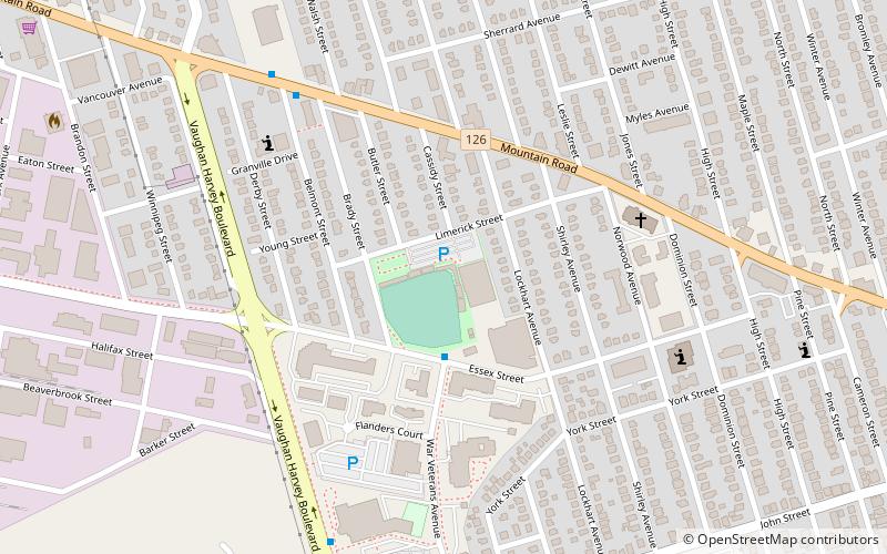
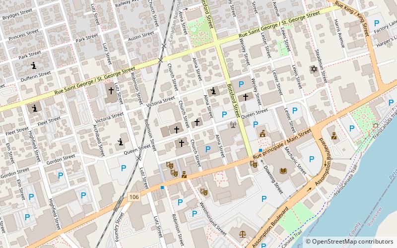
Map
Facts and practical information
Kiwanis Park is a 3,500 seat baseball field located in Moncton, New Brunswick. The field was donated to the City of Moncton in 1953 by the local Kiwanis Club. It is the largest baseball field in Canada east of Quebec City. The field is the current home of the Moncton Fisher Cats and also, the Junior and Minor league Metro Mudcats. It has played host to many baseball tournaments including the 1975 Intercontinental Cup, the 1997 World Junior Baseball Championship, and the 2004 Baseball Canada Senior Championships. ()
Coordinates: 46°5'47"N, 64°47'59"W
Address
Central MonctonMoncton
ContactAdd
Social media
Add
Day trips


Frequently Asked Questions (FAQ)
Which popular attractions are close to Kiwanis Park?
Nearby attractions include Oulton College, Moncton (5 min walk), Central Moncton, Moncton (5 min walk), Victoria Park, Moncton (14 min walk), Moncton South, Moncton (18 min walk).