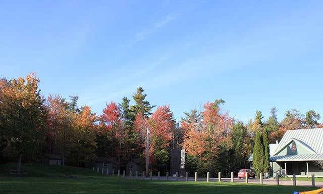
Camp Centennial, Moncton
Gallery (1)
Map
Map
Facts and practical information
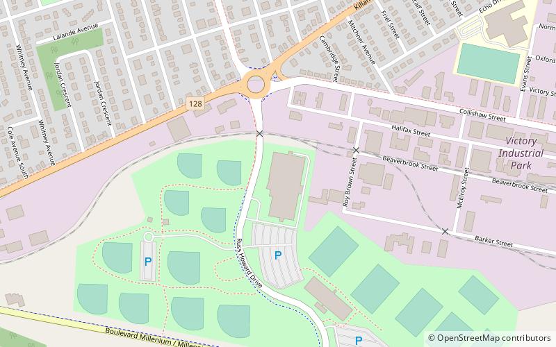
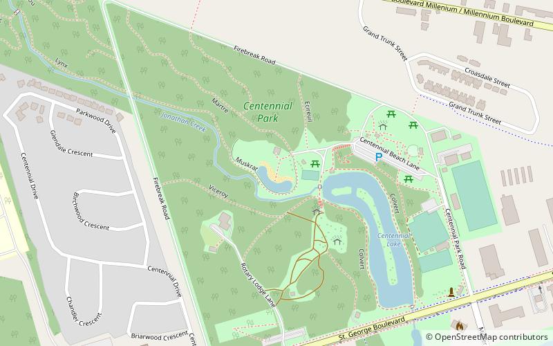
Camp Centennial (address: 125 Rotary Lodge Lane) is a place located in Moncton (New Brunswick province) and belongs to the category of beach.
It is situated at an altitude of 43 feet, and its geographical coordinates are 46°5'15"N latitude and 64°49'8"W longitude.
Among other places and attractions worth visiting in the area are: Centennial Park (park, 5 min walk), Moncton Sports Dome (sport, 11 min walk), CN Sportplex (sport, 12 min walk).
Coordinates: 46°5'15"N, 64°49'8"W
Day trips