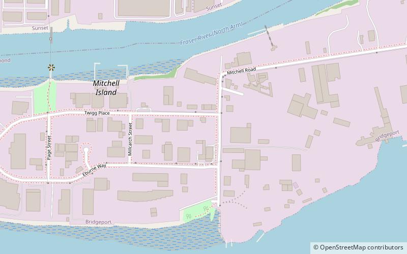
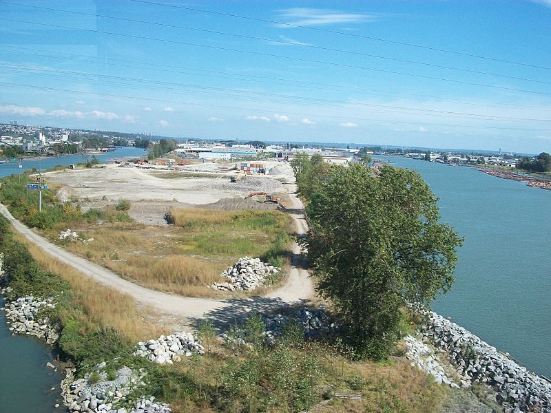
Mitchell Island, Richmond

Gallery (2)
Map
Map
Gallery
Facts and practical information
Address
Mitchell IslandRichmond
ContactAdd
Social media
Add
Getting there by public transportation
Public transportation stops near this location
- Metro
- Bus
- Trolleybus
 Metro
Metro
- Calculate routeSoutheast Marine Dr at Fraser St 16 min walk
- Calculate routeSoutheast Marine Dr at Poplar St 16 min walk
- Calculate routeFraser St at East 63rd Ave 19 min walk
- Calculate routeSE Marine Dr at Main St 20 min walk
- Calculate routeMain St at Southeast Marine Dr 20 min walk
- Calculate routeMarine Drive 32 min walk
Day trips


Frequently Asked Questions (FAQ)
How to get to Mitchell Island by public transport?
The nearest stations to Mitchell Island:
Bus
Trolleybus
Metro
Bus
- Southeast Marine Dr at Fraser St • Lines: 100 (16 min walk)
Trolleybus
- Southeast Marine Dr at Poplar St • Lines: 8 (16 min walk)
- Fraser St at East 63rd Ave • Lines: 8 (19 min walk)
Metro
- Marine Drive • Lines: Canada Line (32 min walk)