Sugarloaf Mountain

Gallery (1)
Map
Map
Facts and practical information
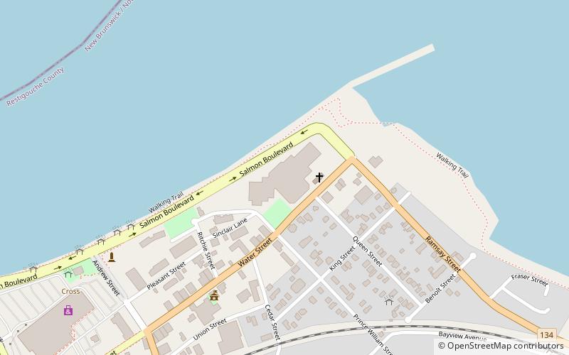
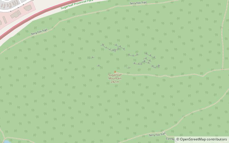
Sugarloaf Mountain is a 281.1 m mountain in the northern Appalachian Mountains in Campbellton, New Brunswick, Canada. The mountain is protected by Sugarloaf Provincial Park and lies within city limits, just south of the urban area. ()
Coordinates: 47°59'24"N, 66°41'8"W
Location
New Brunswick
ContactAdd
Social media
Add
Day trips