J. C. Van Horne Bridge, Campbellton

Gallery (2)
Map

Map
Gallery
Facts and practical information
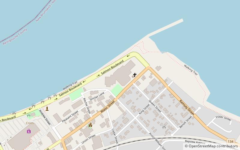
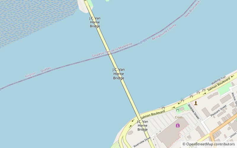
The J. C. Van Horne Bridge is a Canadian steel through truss/steel deck truss bridge crossing the Restigouche River between Campbellton, New Brunswick and Pointe-à-la-Croix, Quebec. ()
Length: 2641 ftCoordinates: 48°0'37"N, 66°40'49"W
Day trips