Sugarloaf Provincial Park
Map

Map

Facts and practical information
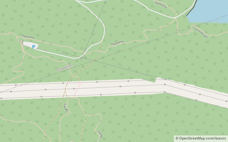
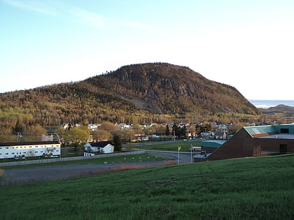
Sugarloaf Provincial Park is an 11.5-square-kilometre all-season provincial park located in Campbellton, New Brunswick. It opened in 1972. ()
Established: 1972 (54 years ago)Elevation: 466 ft a.s.l.Coordinates: 47°58'36"N, 66°40'22"W
Day trips
Sugarloaf Provincial Park – popular in the area (distance from the attraction)
Nearby attractions include: Sugarloaf Mountain, J. C. Van Horne Bridge, Atholville, Memorial Civic Center.


