Yaletown, Vancouver
Map

Gallery
Facts and practical information
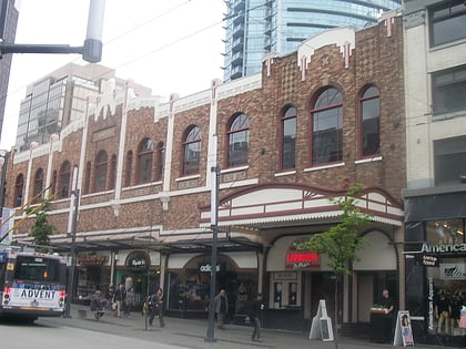
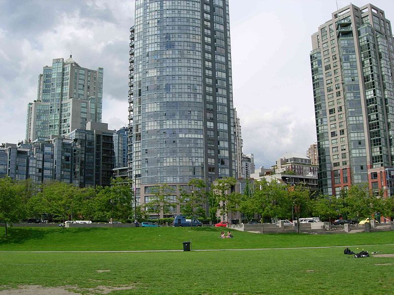
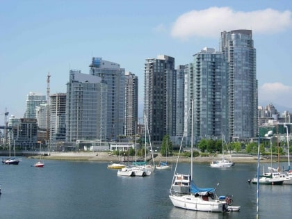
Yaletown is an area of Downtown Vancouver approximately bordered by False Creek and by Robson and Homer Streets. Formerly a heavy industrial area dominated by warehouses and rail yards, since Expo 86 it has been transformed into one of the most densely populated neighbourhoods in the city. The marinas, parks, high-rise apartment blocks, and converted heritage buildings constitute one of the most significant urban regeneration projects in North America. ()
Address
1099 Cambie StreetDowntown VancouverVancouver
ContactAdd
Social media
Add
Day trips
Yaletown – popular in the area (distance from the attraction)
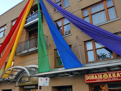
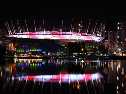
Nearby attractions include: Commodore Ballroom, Celebrities Nightclub, BC Place, Swing bridge.
Frequently Asked Questions (FAQ)
Which popular attractions are close to Yaletown?
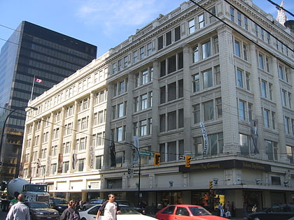
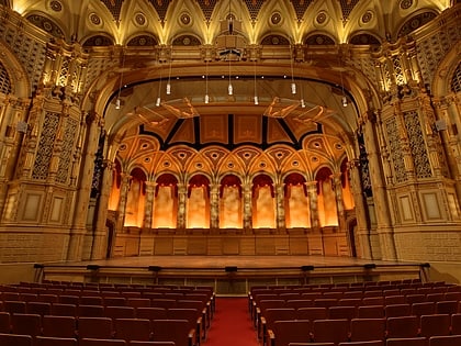
Nearby attractions include The Bunkhouse, Vancouver (6 min walk), Contemporary Art Gallery, Vancouver (7 min walk), Orpheum, Vancouver (7 min walk), Pyatt Hall, Vancouver (8 min walk).
How to get to Yaletown by public transport?
The nearest stations to Yaletown:
Trolleybus
Metro
Bus
Ferry
Train
Trolleybus
- Yaletown-Roundhouse Station Bay 1 • Lines: 6 (4 min walk)
- Cambie St at Nelson St • Lines: 6 (4 min walk)
Metro
- Yaletown–Roundhouse • Lines: Canada Line (4 min walk)
- Vancouver City Centre • Lines: Canada Line (11 min walk)
Bus
- Pacific Boulevard at Cambie Street • Lines: 23 (4 min walk)
- Yaletown-Roundhouse Station Bay 3 • Lines: 23 (5 min walk)
Ferry
- Yaletown Dock • Lines: Aquabus, False Creek Ferries Route 3 (9 min walk)
- Spyglass Dock • Lines: Aquabus (12 min walk)
Train
- Waterfront (21 min walk)
- Vancouver Pacific Central (27 min walk)
 SkyTrain