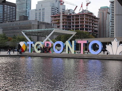
3D Toronto sign, Toronto
Map
Map

Facts and practical information
The 3D Toronto sign, officially the 3D TORONTO sign and commonly known as the Toronto sign, is an illuminated three-dimensional sign in Nathan Phillips Square in Toronto, Ontario, Canada, that spells the city's name. It is 3 metres tall and 22 metres long, lit by LED lights controlled via Wi-Fi that can create an estimated 228 million colour combinations, approximately equal to what the human eye can sense. ()
Coordinates: 43°39'9"N, 79°23'1"W
Address
Downtown Toronto (Bay Street Corridor)Toronto
ContactAdd
Social media
Add
Day trips
3D Toronto sign – popular in the area (distance from the attraction)
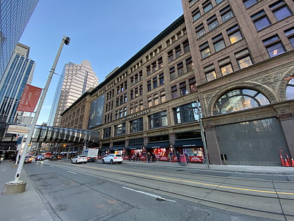
Nearby attractions include: CF Toronto Eaton Centre, Old City Hall, Hudson's Bay, Yonge-Dundas Square.
Frequently Asked Questions (FAQ)
Which popular attractions are close to 3D Toronto sign?
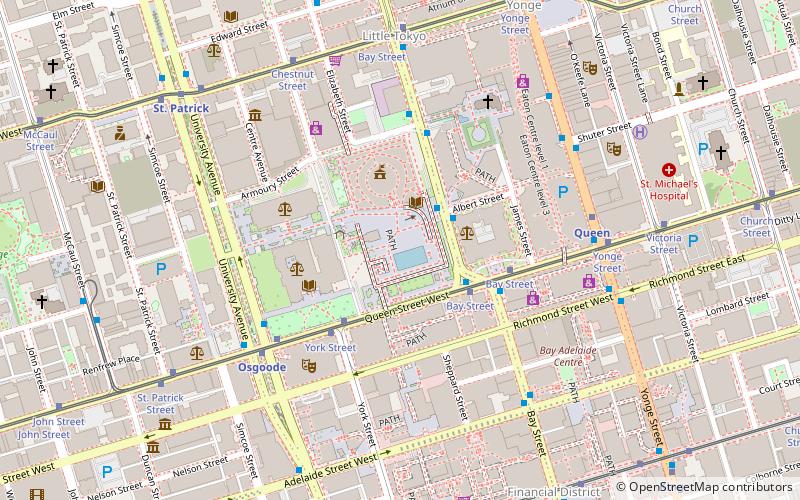
Nearby attractions include Nathan Phillips Square, Toronto (1 min walk), Downtown Toronto, Toronto (1 min walk), The Archer, Toronto (1 min walk), City Hall, Toronto (2 min walk).
How to get to 3D Toronto sign by public transport?
The nearest stations to 3D Toronto sign:
Bus
Tram
Metro
Train
Ferry
Bus
- Albert Street • Lines: 19 (2 min walk)
- Queen Street West • Lines: 19 (3 min walk)
Tram
- Bay Street • Lines: 501, 501;301 (4 min walk)
- York Street • Lines: 501, 501;301 (3 min walk)
Metro
- Osgoode • Lines: 1 (5 min walk)
- Queen • Lines: 1 (6 min walk)
Train
- Toronto Union Station (15 min walk)
Ferry
- Jack Layton Ferry Terminal • Lines: Toronto Island Ferry, Ward's Island (25 min walk)
 Subway
 Streetcar system
 PATH
PATH