St. Michael's College School Arena, Toronto
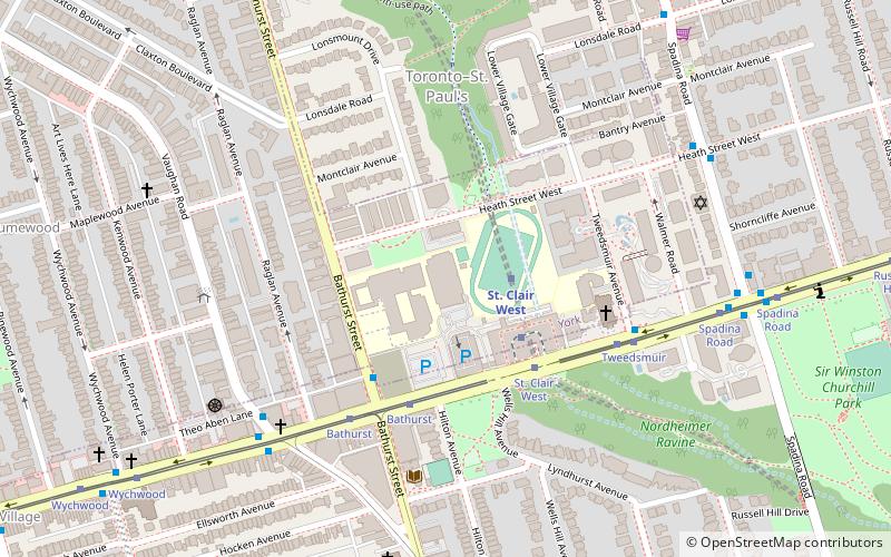
Map
Gallery
Facts and practical information
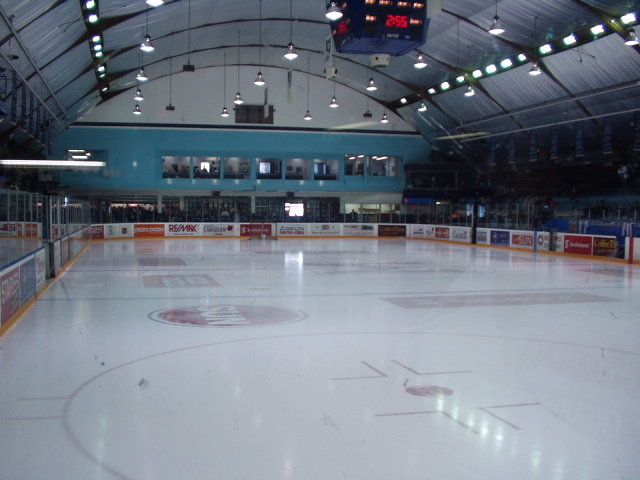
The St. Michael's College School Arena is a 1,600-seat hockey arena in Toronto, Ontario, Canada. It was built in 1956 on the campus of St. Michael's College School in central Toronto, and originally was an outdoor rink. A half-cylinder shape wooden roof was finally built over the ice and completed in 1960. ()
Coordinates: 43°41'6"N, 79°25'1"W
Address
Midtown (Forest Hill)Toronto
ContactAdd
Social media
Add
Day trips
St. Michael's College School Arena – popular in the area (distance from the attraction)
Nearby attractions include: Casa Loma, Spadina House, Yorkville Village, Wychwood Barns.
Frequently Asked Questions (FAQ)
Which popular attractions are close to St. Michael's College School Arena?
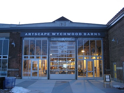
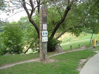
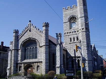
Nearby attractions include Wychwood Barns, Toronto (11 min walk), Grace Church on-the-Hill, Toronto (12 min walk), Wychwood Park, Toronto (14 min walk), Timothy Eaton Memorial Church, Toronto (15 min walk).
How to get to St. Michael's College School Arena by public transport?
The nearest stations to St. Michael's College School Arena:
Metro
Tram
Bus
Metro
- St. Clair West • Lines: 1 (2 min walk)
- Dupont • Lines: 1 (22 min walk)
Tram
- St. Clair West Station • Lines: 512 (3 min walk)
- St. Clair West (4 min walk)
Bus
- St. Clair West Station • Lines: 126 (3 min walk)
- Vaughan Road • Lines: 126 (6 min walk)

 Subway
 Streetcar system
 PATH
PATH

