Upper Princess Falls, Hamilton
Facts and practical information
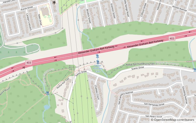
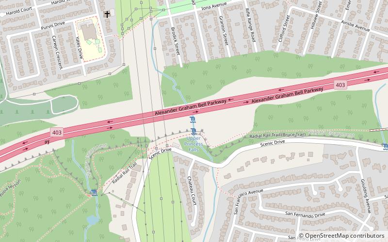
Upper Princess Falls, a hidden gem nestled within the city of Hamilton, Canada, is a testament to the region's natural beauty and geological wonders. As part of the Niagara Escarpment, this charming waterfall is one of the over 100 cascades that have earned Hamilton the nickname "The City of Waterfalls."
Standing as an elegant, multi-tiered waterfall, Upper Princess Falls is a smaller yet picturesque sibling to the well-known Lower Princess Falls. Although it is not as grand in scale, with its height reaching a modest 8 meters, the falls offer a serene and intimate experience for visitors and nature enthusiasts.
The waterfall is fed by Ancaster Creek and is best viewed during the spring or after periods of heavy rainfall when the water flow is at its peak. During drier seasons, the falls can reduce to a trickle, which makes timing your visit an essential part of the experience.
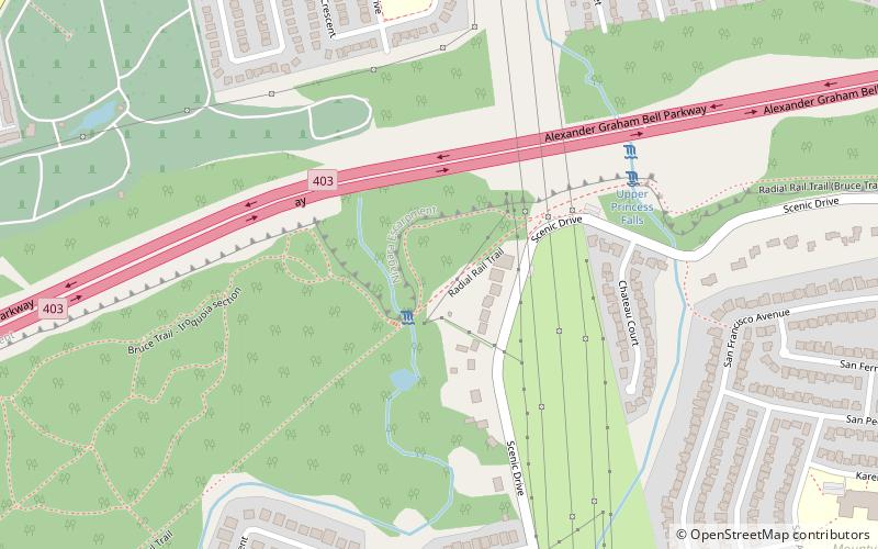
Access to Upper Princess Falls is relatively straightforward, with marked trails leading to the site. Hikers are rewarded with lush greenery and the soothing sounds of cascading water as they approach. The surrounding area is a haven for wildlife, and the falls themselves are often framed by a variety of plant life, adding to the overall ambiance.
Upper Princess Falls is not only a natural spectacle but also an opportunity for outdoor enthusiasts to explore the trails and connect with the environment. Photography buffs, in particular, will appreciate the unique angles and the play of light through the trees that make for stunning compositions.
While Upper Princess Falls may not boast the grandeur of its larger counterparts, its secluded location and tranquil beauty make it a worthwhile destination for those looking to discover the quieter side of Hamilton's waterfall landscape.
Ainslie WoodHamilton
- Bus
 Bus
Bus
- Calculate routeWhitney at Ewen 12 min walk
- Calculate routeWhitney at Alexander Park 14 min walk


Frequently Asked Questions (FAQ)
Which popular attractions are close to Upper Princess Falls?
How to get to Upper Princess Falls by public transport?
Bus
- Whitney at Ewen • Lines: 51, 5A, 5C (12 min walk)
- Whitney at Alexander Park • Lines: 51, 5A (14 min walk)