Lower Westcliffe Falls, Hamilton
Map
Facts and practical information
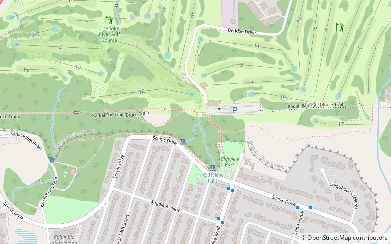
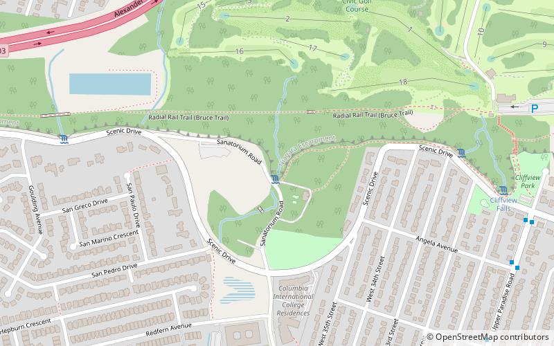
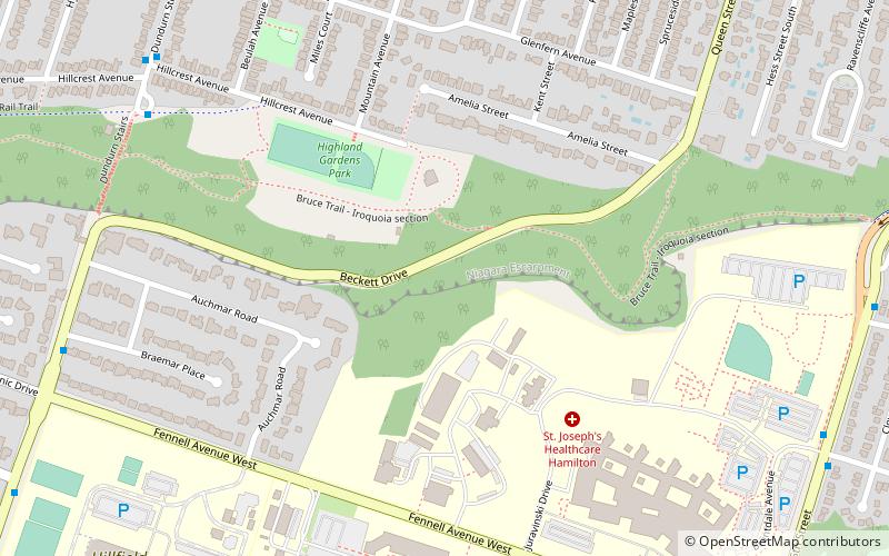
Lower Westcliffe Falls is a 7.9-metre-high complex classic cascade waterfall found near the Chedoke Civic Golf Course in Hamilton, Ontario, Canada. ()
Coordinates: 43°14'45"N, 79°54'31"W
Address
Chedoke ParkHamilton
ContactAdd
Social media
Add
Getting there by public transportation
Public transportation stops near this location
- Bus
 Bus
Bus
- Calculate routeAberdeen opposite Longwood 16 min walk
Day trips


Frequently Asked Questions (FAQ)
Which popular attractions are close to Lower Westcliffe Falls?
Nearby attractions include Westcliffe Falls, Hamilton (1 min walk), Cliffview Falls, Hamilton (4 min walk), Lower Sanatorium Cascade, Hamilton (8 min walk), Upper Sanatorium Falls, Hamilton (9 min walk).
How to get to Lower Westcliffe Falls by public transport?
The nearest stations to Lower Westcliffe Falls:
Bus
Bus
- Aberdeen opposite Longwood • Lines: 6 (16 min walk)