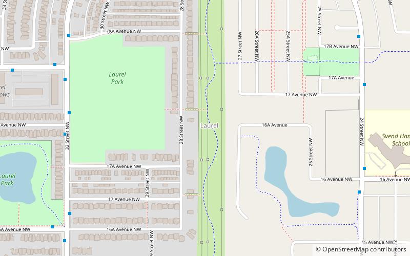
Bisset, Edmonton
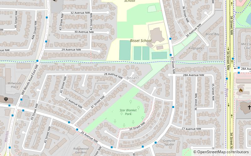
Map
Facts and practical information
Area: 0.36 mi²Coordinates: 53°27'32"N, 113°24'4"W
Address
Southeast Edmonton (Bisset)Edmonton
ContactAdd
Social media
Add
Getting there by public transportation
Public transportation stops near this location
- Bus
 Bus
Bus
- Calculate routeMill Woods Transit Centre 30 min walk
Day trips


Frequently Asked Questions (FAQ)
Which popular attractions are close to Bisset?
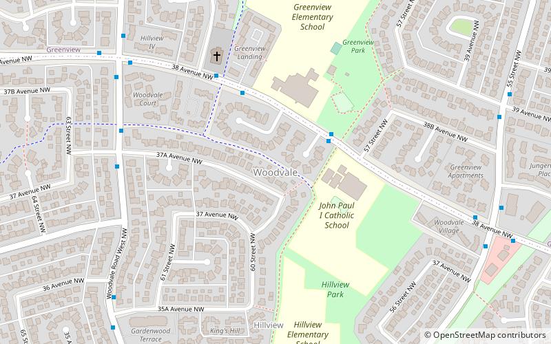
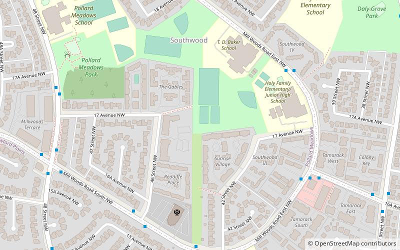
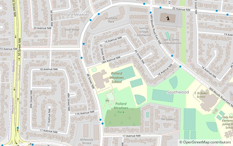
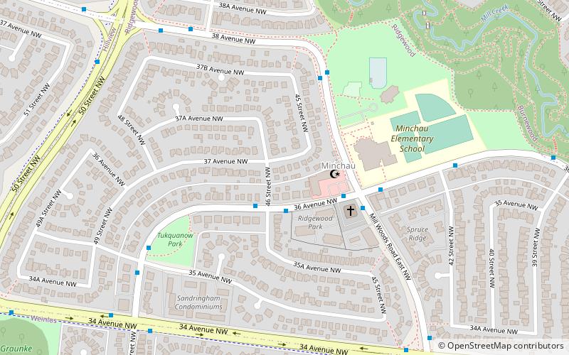
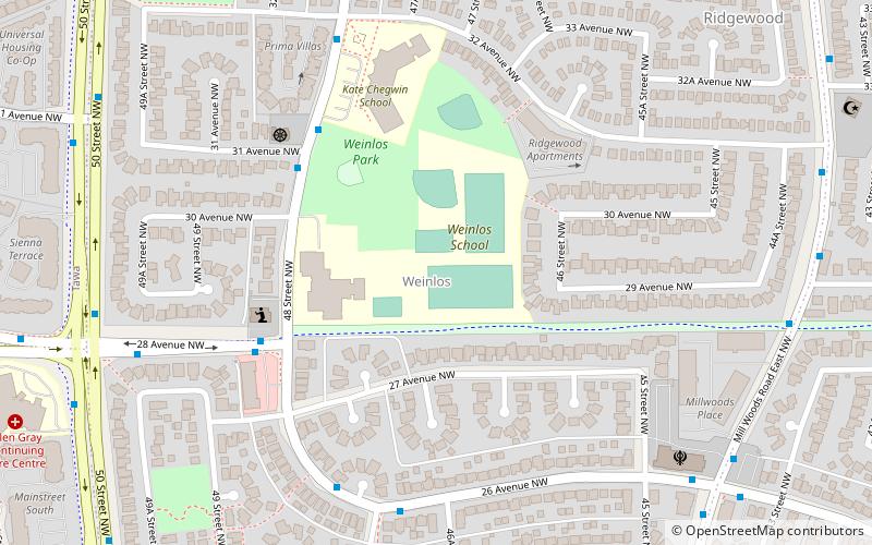
Nearby attractions include Weinlos, Edmonton (14 min walk), Daly Grove, Edmonton (16 min walk), Minchau, Edmonton (19 min walk), Pollard Meadows, Edmonton (21 min walk).
How to get to Bisset by public transport?
The nearest stations to Bisset:
Bus
Bus
- Mill Woods Transit Centre (30 min walk)