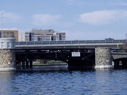
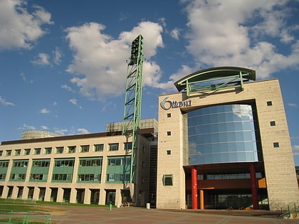
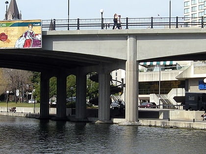
Golden Triangle, Ottawa
Map
Map

Facts and practical information
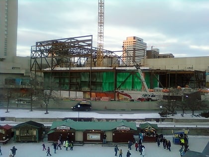
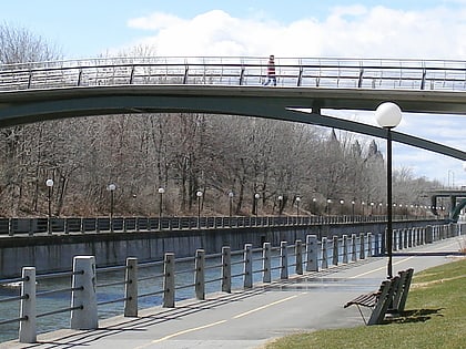
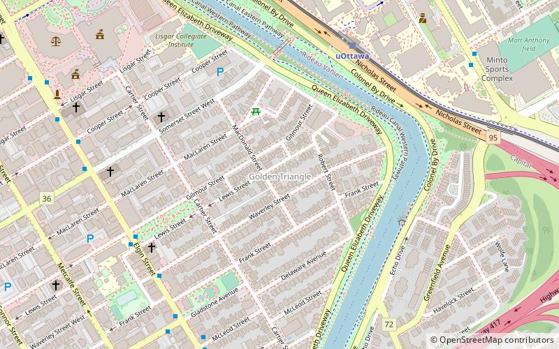
The Golden Triangle is a sub-neighbourhood of Centretown in Somerset Ward in central Ottawa, Ontario, Canada. It borders Elgin Street, at its west, and the Rideau Canal, at its east. The Ottawa City Hall is to its north and the Elgin Street Police Station to its south. According to the 2016 Canada Census, the total population for this area was 5,778. ()
Address
CentretownOttawa
ContactAdd
Social media
Add
Day trips
Golden Triangle – popular in the area (distance from the attraction)
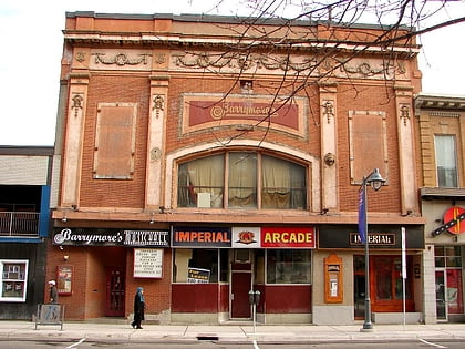
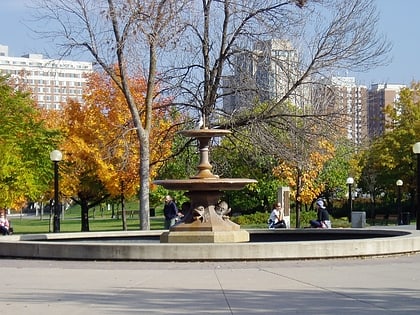
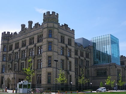
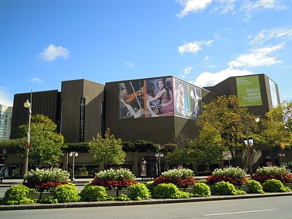
Nearby attractions include: Barrymore's, Confederation Park, Canadian Museum of Nature, National Arts Centre.
Frequently Asked Questions (FAQ)
Which popular attractions are close to Golden Triangle?
Nearby attractions include Minto Park, Ottawa (5 min walk), Corktown Footbridge, Ottawa (5 min walk), St. Theresa's Catholic Church, Ottawa (5 min walk), Église Unie St-Marc, Ottawa (6 min walk).
How to get to Golden Triangle by public transport?
The nearest stations to Golden Triangle:
Light rail
Bus
Light rail
- UOttawa O-Train East/Est • Lines: 1 (6 min walk)
- Lees O-Train West/Ouest • Lines: 1 (18 min walk)
Bus
- Elgin / Gilmour • Lines: 114, 14, 5 (6 min walk)

