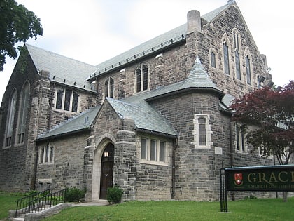
St. James-Bond Church, Toronto
Map
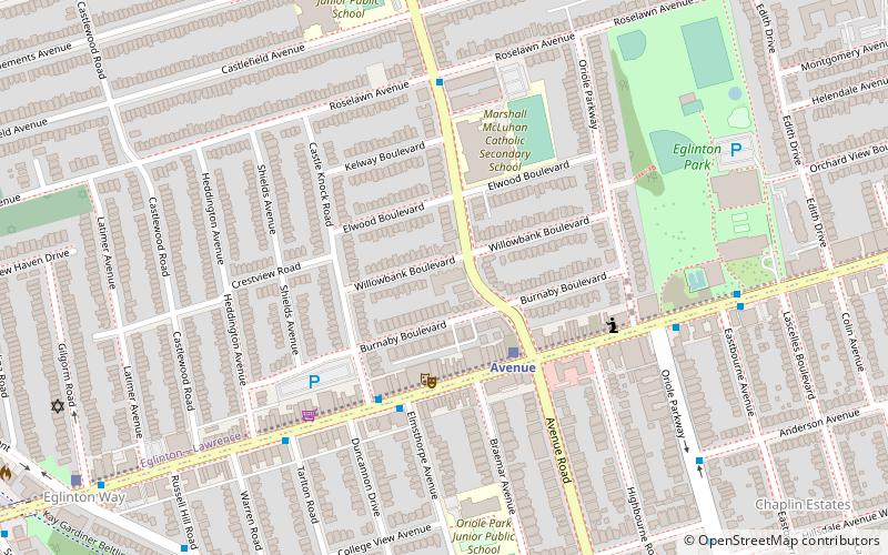
Map

Facts and practical information
St. James-Bond United Church, at 1066 Avenue Road in Toronto, Ontario, was a United Church of Canada congregation from 1928 to 2005, when it merged with Fairlawn Heights United Church in the Yonge Street and Lawrence Avenue area. The "St. James-Bond" name derived from the merger of St. James Square Presbyterian Church with Bond Street Congregational Church in 1928. Prior to the merger, they were separate congregations downtown, of the Presbyterian and Congregational traditions respectively. ()
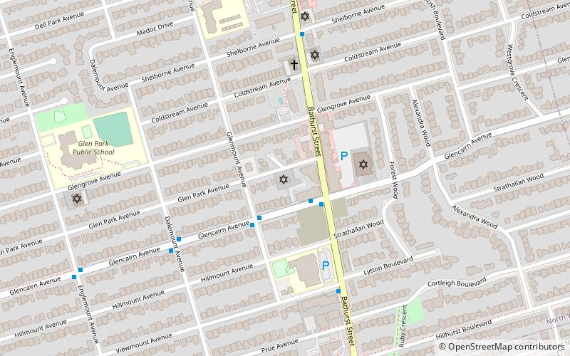
Coordinates: 43°42'21"N, 79°24'37"W
Day trips
St. James-Bond Church – popular in the area (distance from the attraction)
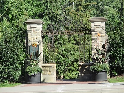
Nearby attractions include: Alexander Muir Memorial Gardens, Beltline Trail, Eglinton Theatre, Yonge-Eglinton Centre.
Frequently Asked Questions (FAQ)
Which popular attractions are close to St. James-Bond Church?
Nearby attractions include Eglinton Park, Toronto (7 min walk), Allenby, Toronto (10 min walk), Roselawn Avenue Cemetery, Toronto (12 min walk), Yonge-Eglinton Centre, Toronto (15 min walk).
How to get to St. James-Bond Church by public transport?
The nearest stations to St. James-Bond Church:
Bus
Metro
Bus
- Eglinton Avenue West • Lines: 51, 54A, 54B (13 min walk)
- Eglinton (15 min walk)
Metro
- Eglinton • Lines: 1 (15 min walk)
- Davisville • Lines: 1 (22 min walk)
 Subway
 Streetcar system
 PATH
PATH