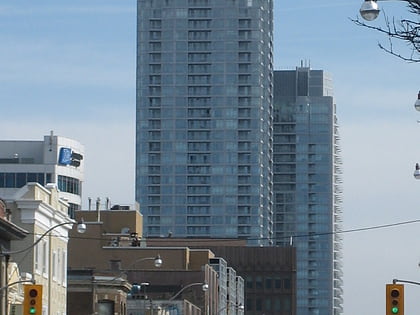
Eglinton Theatre, Toronto
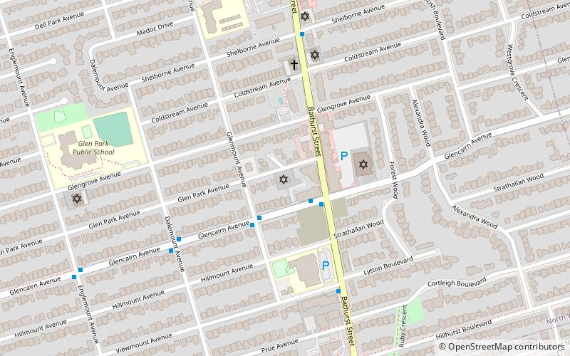
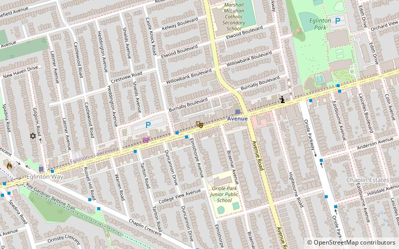
Map
Map

Facts and practical information
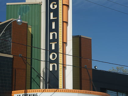
The Eglinton Theatre, is an event venue and cinema in Toronto, Ontario, Canada. In 2016, it was designated a National Historic Site by Parks Canada and the Historic Sites and Monuments Board of Canada. ()
Coordinates: 43°42'16"N, 79°24'38"W
Address
Uptown (Allenby)Toronto
Contact
+1 416-485-5900
Social media
Add
Day trips
Eglinton Theatre – popular in the area (distance from the attraction)
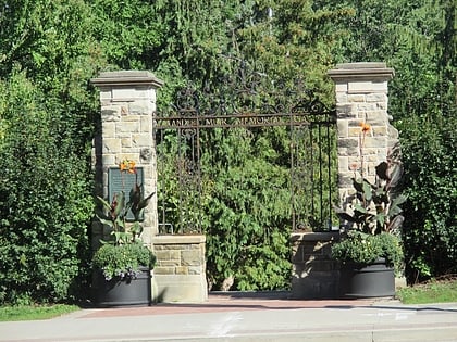
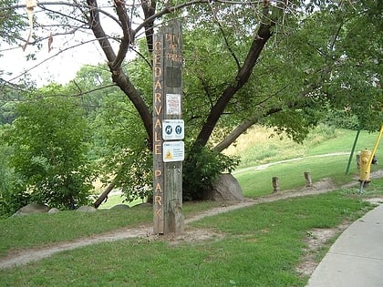
Nearby attractions include: Alexander Muir Memorial Gardens, Beltline Trail, Yonge-Eglinton Centre, Cedarvale Park.
Frequently Asked Questions (FAQ)
Which popular attractions are close to Eglinton Theatre?
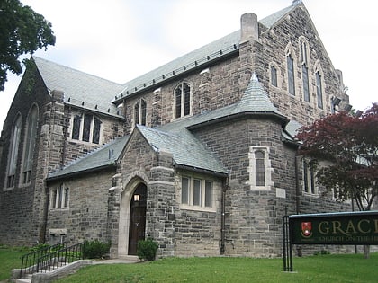
Nearby attractions include St. James-Bond Church, Toronto (3 min walk), Eglinton Park, Toronto (9 min walk), Allenby, Toronto (12 min walk), Roselawn Avenue Cemetery, Toronto (13 min walk).
How to get to Eglinton Theatre by public transport?
The nearest stations to Eglinton Theatre:
Bus
Metro
Tram
Bus
- Eglinton Avenue West • Lines: 51, 54A, 54B (14 min walk)
- Eglinton (16 min walk)
Metro
- Eglinton • Lines: 1 (16 min walk)
- Davisville • Lines: 1 (21 min walk)
Tram
- Deer Park • Lines: 512 (34 min walk)
- Yonge Street • Lines: 512 (36 min walk)
 Subway
 Streetcar system
 PATH
PATH