Beltline Trail, Toronto
Map
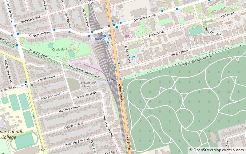
Map

Facts and practical information
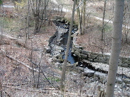
The Beltline Trail is a 9-kilometre -long cycling and walking rail trail in Toronto, Ontario, Canada. It consists of three sections, the York Beltline Trail west of Allen Road, the Kay Gardner Beltline Park from the Allen to Mount Pleasant Road, and the Ravine Beltline Trail south of Mount Pleasant Cemetery through the Moore Park Ravine. Built on the former right-of-way of the Toronto Belt Line Railway, the linear park passes through the neighbourhoods of Rosedale, Moore Park, Forest Hill, Chaplin Estates, and Fairbank. ()
Length: 5.59 miElevation: 466 ft a.s.l.Coordinates: 43°41'45"N, 79°23'45"W
Day trips
Beltline Trail – popular in the area (distance from the attraction)
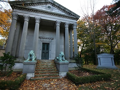
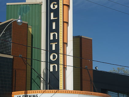
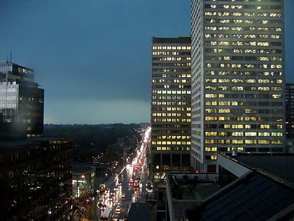
Nearby attractions include: David A. Balfour Park, Mount Pleasant Cemetery, Eglinton Theatre, Yonge-Eglinton Centre.
Frequently Asked Questions (FAQ)
Which popular attractions are close to Beltline Trail?
Nearby attractions include William McBrien Building, Toronto (4 min walk), Chaplin Estates, Toronto (10 min walk), Our Saviour's Lutheran Church, Toronto (10 min walk), Yorkminster Park Baptist Church, Toronto (10 min walk).
How to get to Beltline Trail by public transport?
The nearest stations to Beltline Trail:
Bus
Metro
Tram
Bus
- Davisville Station • Lines: 11A, 11C (4 min walk)
- Yonge Street • Lines: 11A, 11C (5 min walk)
Metro
- Davisville • Lines: 1 (5 min walk)
- St. Clair • Lines: 1 (15 min walk)
Tram
- Yonge Street • Lines: 512 (14 min walk)
- St. Clair Station • Lines: 512 (15 min walk)

 Subway
 Streetcar system
 PATH
PATH