Burns Building, Calgary
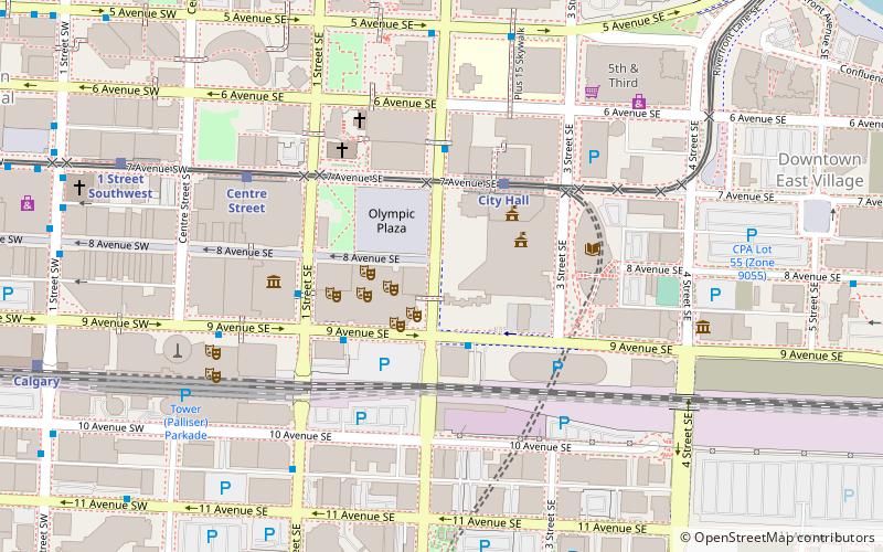
Map

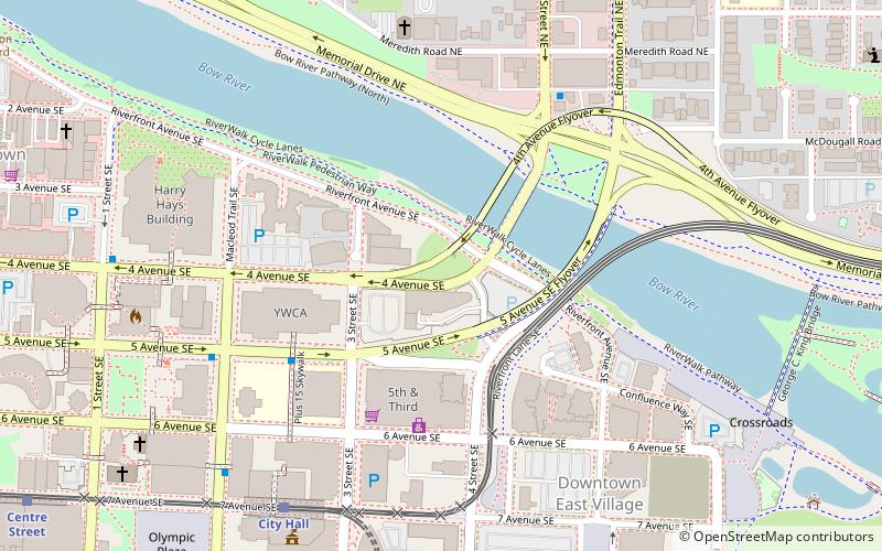
Map

Facts and practical information
The Burns Building is a historic six-story building located in downtown Calgary, Alberta. It sits at 237-8th Ave. S.E. on the end of Stephen Avenue overlooking Olympic Plaza and City Hall. ()
Completed: 1912 (114 years ago)Floors: 6Coordinates: 51°2'43"N, 114°3'29"W
Address
Downtown CalgaryCalgary
ContactAdd
Social media
Add
Day trips
Burns Building – popular in the area (distance from the attraction)
Nearby attractions include: Calgary Tower, Suncor Energy Centre, Bankers Hall, Glenbow Museum.
Frequently Asked Questions (FAQ)
Which popular attractions are close to Burns Building?
Nearby attractions include Arts Commons, Calgary (2 min walk), Calgary Municipal Building, Calgary (2 min walk), Calgary City Hall, Calgary (2 min walk), Olympic Plaza, Calgary (2 min walk).
How to get to Burns Building by public transport?
The nearest stations to Burns Building:
Bus
Light rail
Train
Bus
- Stop ID 8075 • Lines: 1 (2 min walk)
- Red Arrow Ticket Centre • Lines: Red Arrow Edmonton - Calgary (3 min walk)
Light rail
- City Hall • Lines: 201, 202 (3 min walk)
- Centre Street • Lines: 201, 202 (5 min walk)
Train
- Calgary (9 min walk)


