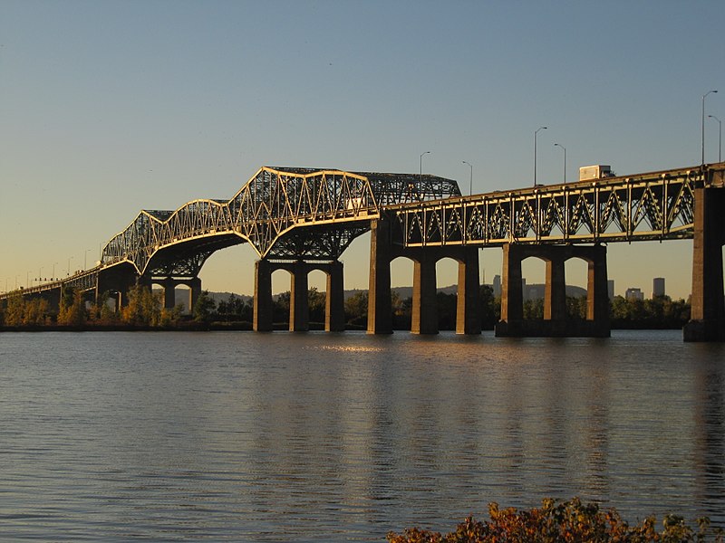
Champlain Bridge, Montreal

Gallery (4)
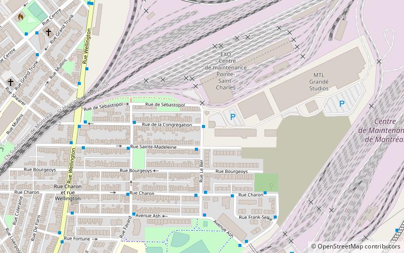
Map

Map
Gallery
Facts and practical information
The Champlain Bridge was a steel truss cantilever bridge with approach viaducts constructed of prestressed concrete beams supporting a prestressed concrete deck paved with asphalt. The bridge crosses the Saint Lawrence River, connecting the Island of Montreal to its South Shore suburbs. ()
Getting there by public transportation
Public transportation stops near this location
- Bus
 Bus
Bus
- Calculate routeRené-Lévesque / Levert 27 min walk
- Calculate routeRené-Lévesque / Golf-Cité 29 min walk
- Calculate routeRené-Lévesque / Berlioz 30 min walk
Maps Metro
Metro
MetroDay trips


Frequently Asked Questions (FAQ)
How to get to Champlain Bridge by public transport?
The nearest stations to Champlain Bridge:
Bus
Bus
- René-Lévesque / Levert • Lines: 12-N, 168-N, 178-N, 178-S, 21-S (27 min walk)
- René-Lévesque / Golf-Cité • Lines: 168-N, 178-N (29 min walk)