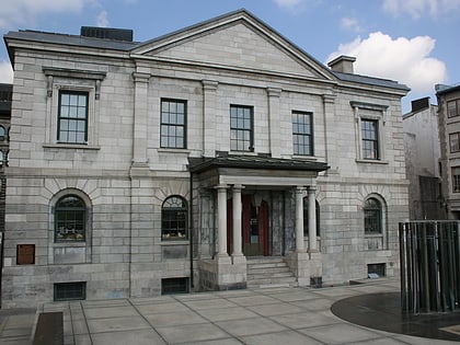
Cité du Havre, Montreal
Map
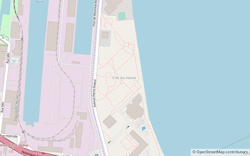
Map

Facts and practical information
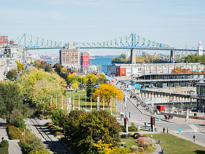
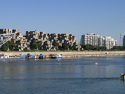
Cité du Havre is a neighbourhood in the borough of Ville-Marie of the city of Montreal, Quebec, Canada. It is located on a narrow man-made peninsula, the Mackay Pier, which was largely built to protect the Old Port of Montreal from the currents of the Saint Lawrence River and from ice banks and floodings in the springtime. ()
Coordinates: 45°29'37"N, 73°32'35"W
Address
Ville-Marie District (Vieux-Montréal)Montreal
ContactAdd
Social media
Add
Day trips
Cité du Havre – popular in the area (distance from the attraction)
Nearby attractions include: Montreal Science Centre, Pointe-à-Callière, Centre d'histoire de Montréal, Dieppe Park.
Frequently Asked Questions (FAQ)
Which popular attractions are close to Cité du Havre?
Nearby attractions include Habitat 67, Montreal (12 min walk), Habitat 67, Montreal (12 min walk), Irish Commemorative Stone, Montreal (13 min walk), Victoria Bridge, Montreal (14 min walk).
How to get to Cité du Havre by public transport?
The nearest stations to Cité du Havre:
Bus
Metro
Train
Bus
- des Moulins / Pierre-Dupuy • Lines: 168-N, 168-S, 74-N, 74-S (9 min walk)
- des Moulins / No 950 • Lines: 168-S (9 min walk)
Metro
- Square-Victoria-OACI • Lines: 2 (29 min walk)
- Place d’Armes • Lines: 2 (30 min walk)
Train
- Montreal Central Station (32 min walk)
 Metro
Metro


