Burnaby Heights, Burnaby

Gallery (10)
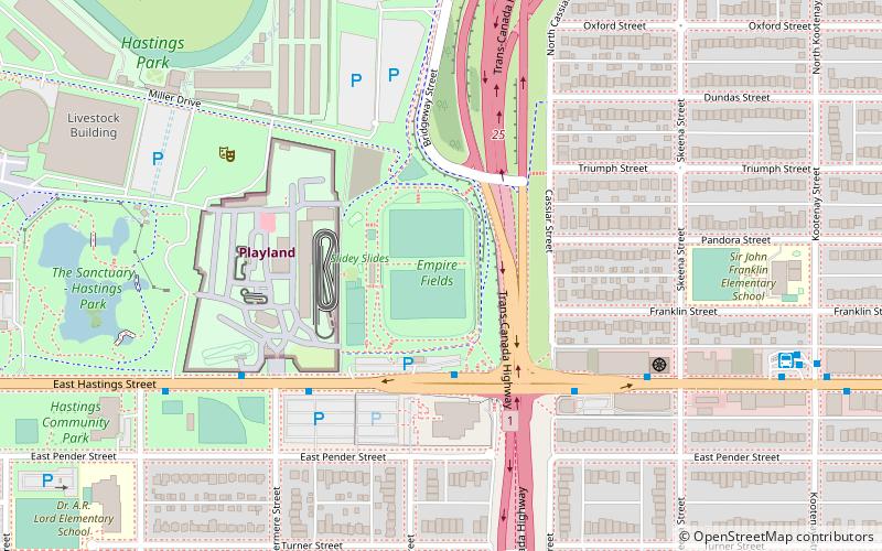
Map

Map

Gallery
Facts and practical information
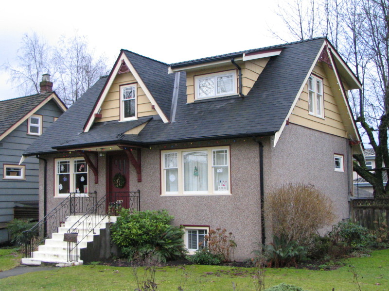
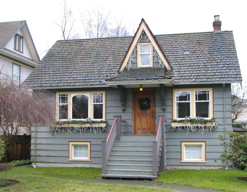
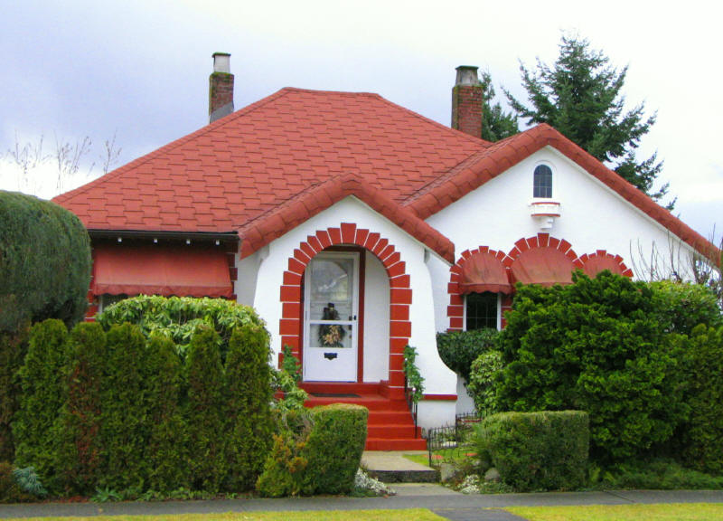
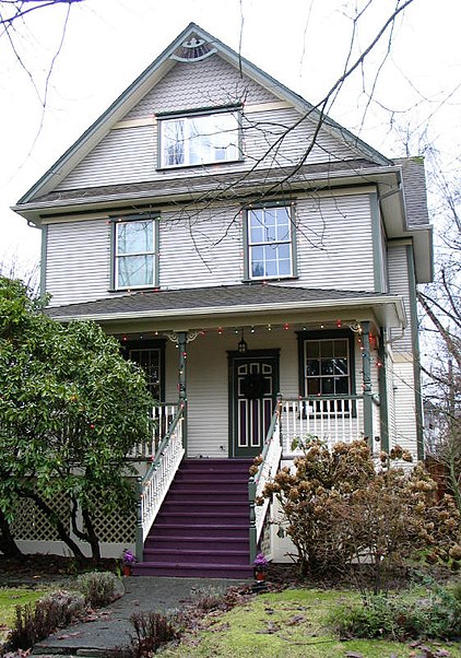
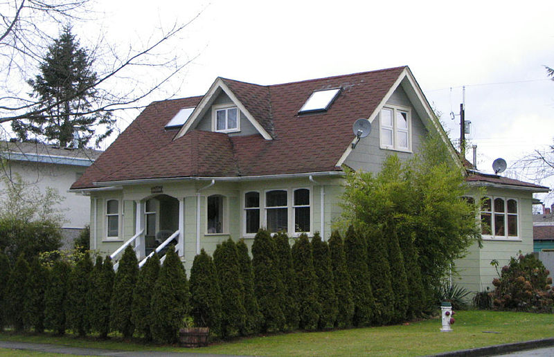
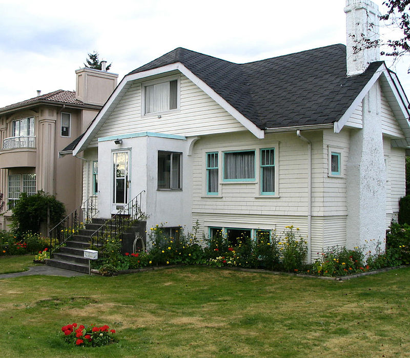
Burnaby Heights, often referred to as The Heights, is a residential neighbourhood in North Burnaby between Boundary Road to the west, Gamma Avenue to the east and bounded by Hastings Street to the south. Its northern edge facing the North Shore Mountains comes down rather steeply to the shores of Burrard Inlet. ()
Coordinates: 49°17'12"N, 123°0'54"W
Address
Burnaby HeightsBurnaby
ContactAdd
Social media
Add
Getting there by public transportation
Public transportation stops near this location
- Bus
- Trolleybus
 Bus
Bus
- Calculate routeEton St at North Gilmore Ave 2 min walk
- Calculate routeKootenay Loop Bay 5 17 min walk
- Calculate routeEast Hastings St at Cassiar St 23 min walk
Day trips


Frequently Asked Questions (FAQ)
Which popular attractions are close to Burnaby Heights?
Nearby attractions include Thornton Tunnel, Burnaby (14 min walk), Second Narrows Rail Bridge, Vancouver (19 min walk), Willingdon Heights, Burnaby (20 min walk), Ironworkers Memorial Second Narrows Crossing, Vancouver (23 min walk).
How to get to Burnaby Heights by public transport?
The nearest stations to Burnaby Heights:
Bus
Trolleybus
Bus
- Eton St at North Gilmore Ave • Lines: 131 (2 min walk)
Trolleybus
- Kootenay Loop Bay 5 • Lines: 14 (17 min walk)
- East Hastings St at Cassiar St • Lines: 14 (23 min walk)