Coal Banks Trail, Lethbridge
Map
Facts and practical information
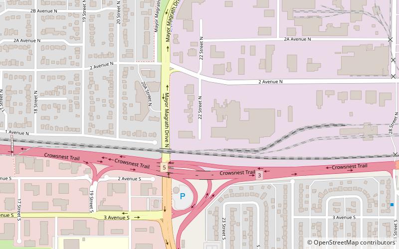
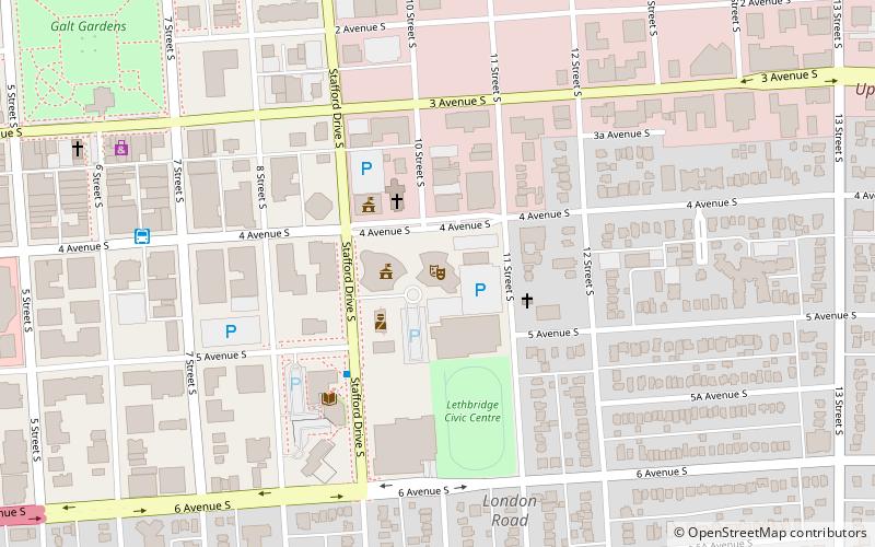
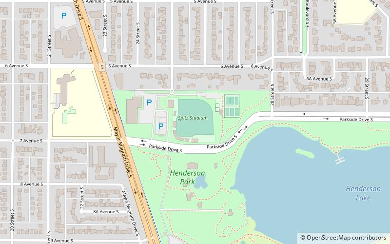
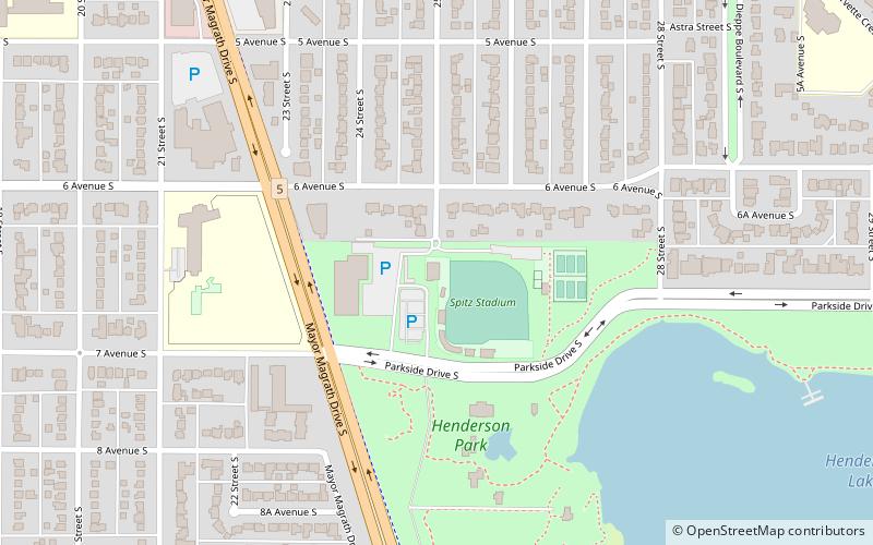
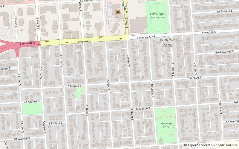
Coal Banks Trail is a 30-kilometre multipurpose recreational path in Lethbridge, Alberta, Canada. It connects all of the city's major urban parks, all three geographical areas, and many smaller parks. While primarily a community recreation opportunity, the trail is also used for community events, such as the Terry Fox Run and the Moonlight Run. ()
Elevation: 3009 ft a.s.l.Coordinates: 49°41'56"N, 112°48'36"W
Address
Lethbridge
ContactAdd
Social media
Add
Day trips


Frequently Asked Questions (FAQ)
Which popular attractions are close to Coal Banks Trail?
Nearby attractions include Lethbridge-West, Lethbridge (12 min walk), Nikka Yuko Japanese Garden, Lethbridge (18 min walk).