Staffordville, Lethbridge

Map
Facts and practical information
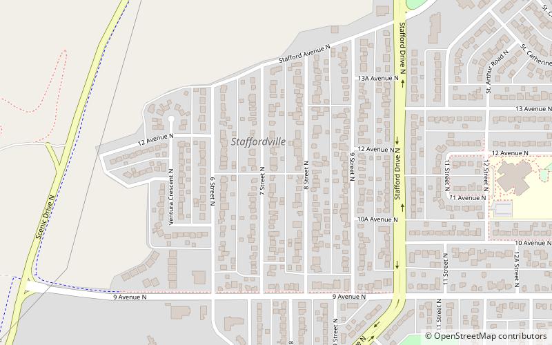
Staffordville, also originally known as "Number Three" or "Stafford", is a residential neighbourhood in the north quadrant of Lethbridge, Alberta. It is located north of Dave Elton ball park and east to Stafford Drive. It borders Legacy Ridge to the north and Westminster to the east. Staffordville was named after William Stafford, mining engineer for the North Western Coal and Navigation Company. ()
Coordinates: 49°42'55"N, 112°50'11"W
Address
StaffordvilleLethbridge
ContactAdd
Social media
Add
Day trips
Staffordville – popular in the area (distance from the attraction)
Nearby attractions include: Park Place Mall, Lethbridge Viaduct, Helen Schuler Nature Centre, Coal Banks Trail.


