London Road, Lethbridge
Map
Facts and practical information
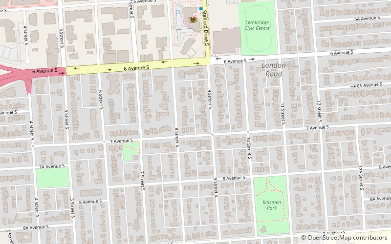
London Road is one of the oldest neighbourhoods in Lethbridge, Alberta. It is located in South Lethbridge and borders downtown, as well as Midtown and the Upper East Side. It is an L-shaped area defined by 6 Avenue, Stafford Drive, 3 Avenue, 13 Street, 9 Avenue and Scenic Drive. ()
Coordinates: 49°41'22"N, 112°50'2"W
Address
London RoadLethbridge
ContactAdd
Social media
Add
Day trips


Frequently Asked Questions (FAQ)
Which popular attractions are close to London Road?
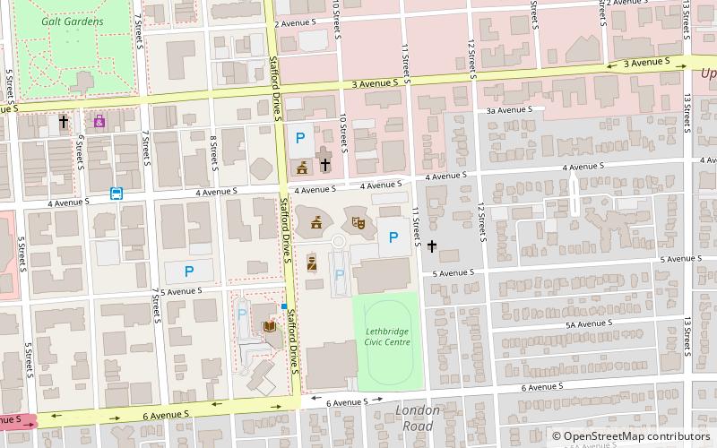
Nearby attractions include Lethbridge Public Library, Lethbridge (6 min walk), City of Lethbridge- City Hall, Lethbridge (8 min walk), Genevieve E. Yates Memorial Centre, Lethbridge (9 min walk), Casa, Lethbridge (13 min walk).