Treasure Island Marina, Kingston

Gallery (1)
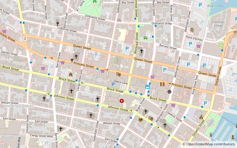
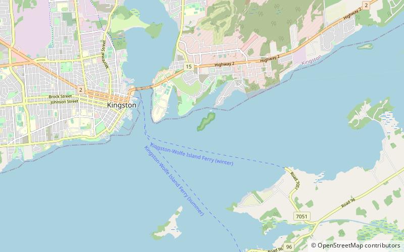
Map
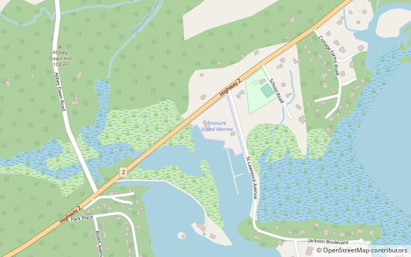
Map
Facts and practical information
Treasure Island Marina (address: 1753 Hwy 2 East) is a place located in Kingston (Ontario province) and belongs to the category of sailing, marina.
It is situated at an altitude of 253 feet, and its geographical coordinates are 44°15'49"N latitude and 76°22'40"W longitude.
Among other places and attractions worth visiting in the area are: Ravensview (neighbourhood, 68 min walk), Pitts Ferry (neighbourhood, 78 min walk), Military Communications and Electronics Museum (museum, 87 min walk).
Coordinates: 44°15'49"N, 76°22'40"W
Day trips