Pinecrest Station, Ottawa

Gallery (1)
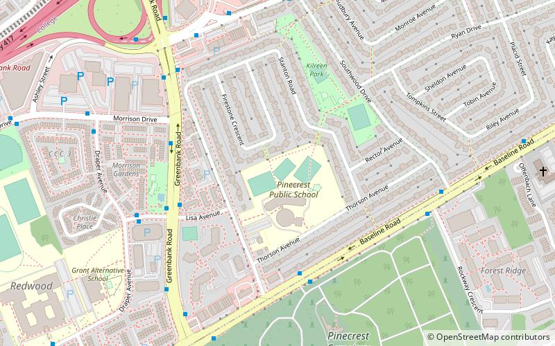
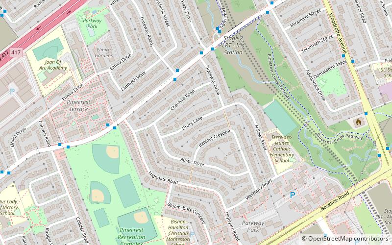
Map
Map
Facts and practical information
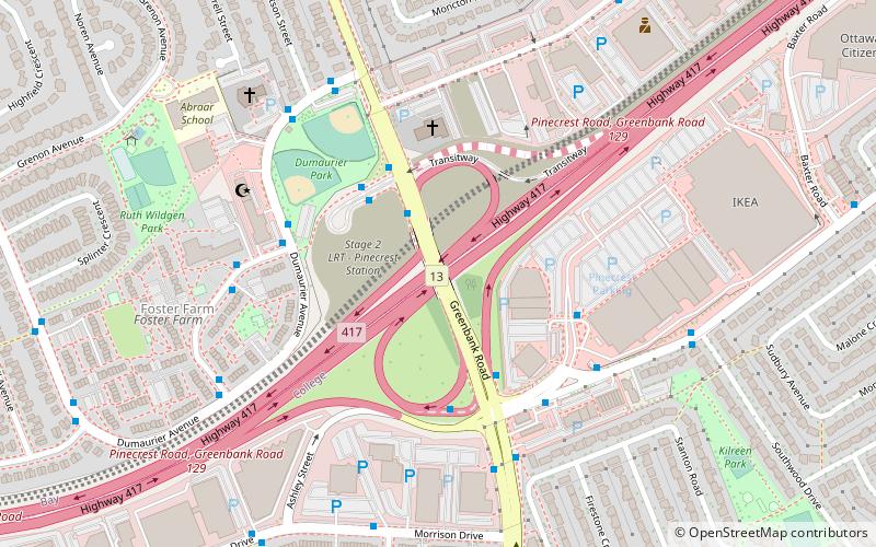
Pinecrest is a Transitway station in Ottawa, Ontario, that began service on September 6, 2009. The name is due to the station's proximity to Pinecrest Road. On June 9, 2006, Then-Ottawa Mayor Bob Chiarelli announced an extension of the West Transitway that include a 1.8 kilometre stretch of transitway from Bayshore station to Pinecrest Road including the new station and located near the road previously served as a regular stop for westbound buses such as route 101. ()
Coordinates: 45°20'58"N, 75°47'24"W
Getting there by public transportation
Public transportation stops near this location
- Bus
 Bus
Bus
- Calculate routePinecrest / Highway 417 2 min walk
- Calculate routePinecrest 2A 3 min walk
- Calculate routePinecrest 1A 3 min walk
- Calculate routePinecrest / Ramp 3 min walk
Day trips


Frequently Asked Questions (FAQ)
Which popular attractions are close to Pinecrest Station?
Nearby attractions include Foster Farm, Ottawa (7 min walk), Britannia United Church, Ottawa (9 min walk), Queensway Terrace South, Ottawa (11 min walk), St. Stephen's Anglican Church, Ottawa (11 min walk).
How to get to Pinecrest Station by public transport?
The nearest stations to Pinecrest Station:
Bus
Bus
- Pinecrest / Highway 417 • Lines: 173, 283 (2 min walk)
- Pinecrest 2A • Lines: 155, 251, 252, 256, 257, 258, 261, 262, 263, 264, 265, 267, 268, 282, 283, 301, 303, 55, 61, 62, 63, 64, 66 (3 min walk)