Edmonton Pedway, Edmonton
Map

Map

Facts and practical information
The Edmonton Pedway system is a network connecting office buildings, shopping centres, and parkades in downtown Edmonton, Alberta, Canada. It consists of approximately 13 kilometres of year-round climate-controlled tunnels, and walkways between the second floors of buildings, approximately 15 feet above ground. The main network connects more than 40 buildings and parkades, and three of the five Edmonton Light Rail Transit stations in the downtown area. ()
Coordinates: 53°32'34"N, 113°29'28"W
Address
North Central Edmonton (Downtown Edmonton)Edmonton
ContactAdd
Social media
Add
Day trips
Edmonton Pedway – popular in the area (distance from the attraction)
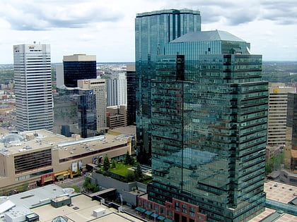
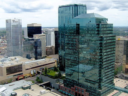
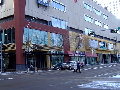
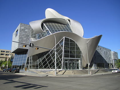
Nearby attractions include: Manulife Place, Commerce Place, Edmonton City Centre, Art Gallery of Alberta.
Frequently Asked Questions (FAQ)
Which popular attractions are close to Edmonton Pedway?
Nearby attractions include Edmonton Public Library, Edmonton (2 min walk), Stanley A. Milner Library, Edmonton (2 min walk), McLeod Building, Edmonton (2 min walk), Alberta Opera, Edmonton (2 min walk).
How to get to Edmonton Pedway by public transport?
The nearest stations to Edmonton Pedway:
Bus
Light rail
Bus
- 101 Street & 102 Ave • Lines: 1, 560, 900X (3 min walk)
- 101 Street & Jasper Ave • Lines: 2, 2-Owl, 5 (4 min walk)
Light rail
- Churchill • Lines: 501, 502 (3 min walk)
- Central • Lines: 501, 502 (4 min walk)

