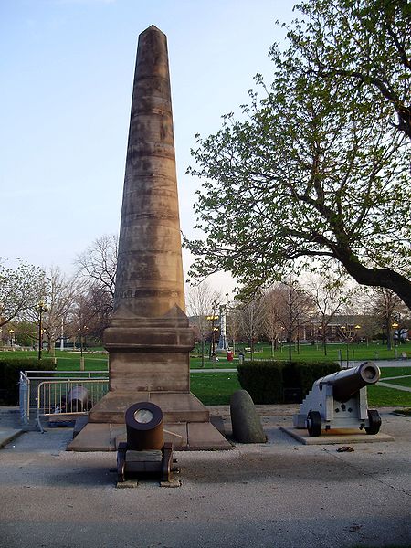
Fort Rouillé, Toronto

Gallery (3)
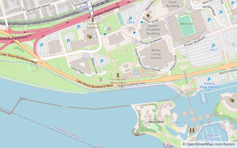
Map
Map
Gallery
Facts and practical information
Fort Rouillé was a French trading post located in what is now Toronto, Ontario, Canada. Fort Rouillé was constructed by the French in 1751, building upon the success of a trading post they established in the area a year earlier, known as Fort Toronto. Fort Rouillé was named for Antoine Louis Rouillé, who at the time of its establishment was Secretary of State for the Navy in the administration of King Louis XV of France. It served as a trading post with the local indigenous peoples from the region. ()
Getting there by public transportation
Public transportation stops near this location
- Bus
- Tram
- Train
 Bus
Bus
- Calculate routeDufferin Gate Loop 8 min walk
- Calculate routeExhibition Loop 13 min walk
- Calculate routeAtlantic Avenue 15 min walk
- Calculate route130 Dunn Avenue 15 min walk
- Calculate routeDufferin Gate Loop 8 min walk
- Calculate routeSpringhurst Avenue 9 min walk
- Calculate routeLiberty Street 12 min walk
- Calculate routeExhibition Loop 14 min walk
- Calculate routeExhibition 12 min walk
Maps SubwayMaps
 Streetcar systemMaps
 PATH
PATH
SubwayMapsStreetcar systemMapsPATHDay trips
Fort Rouillé – popular in the area (distance from the attraction)
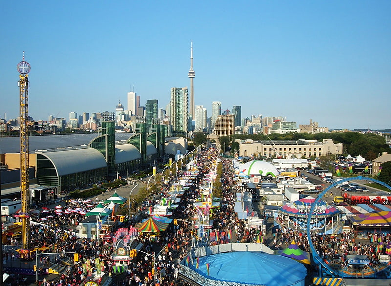
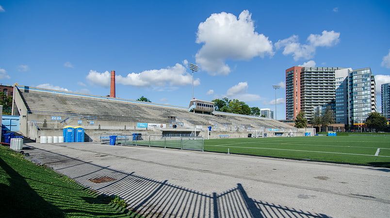
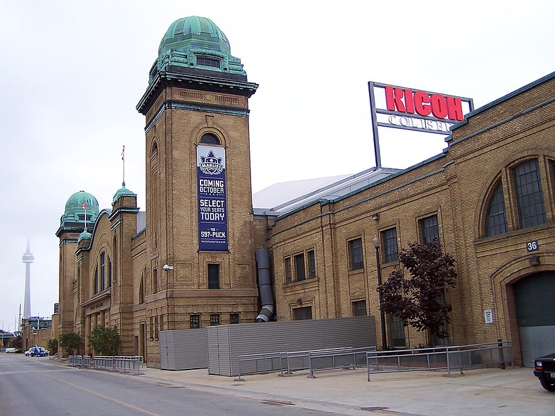
Nearby attractions include: Exhibition Place, Lamport Stadium, BMO Field, Ricoh Coliseum.


Frequently Asked Questions (FAQ)
Which popular attractions are close to Fort Rouillé?
Nearby attractions include Lake Shore Boulevard Bailey Bridge, Toronto (1 min walk), Scadding Cabin, Toronto (1 min walk), CNE Bandshell, Toronto (2 min walk), Shrine Peace Memorial, Toronto (2 min walk).
How to get to Fort Rouillé by public transport?
The nearest stations to Fort Rouillé:
Bus
Tram
Train
Bus
- Dufferin Gate Loop (8 min walk)
- Exhibition Loop • Lines: 363 (13 min walk)
Tram
- Dufferin Gate Loop • Lines: 504B (8 min walk)
- Springhurst Avenue • Lines: 504B (9 min walk)
Train
- Exhibition (12 min walk)