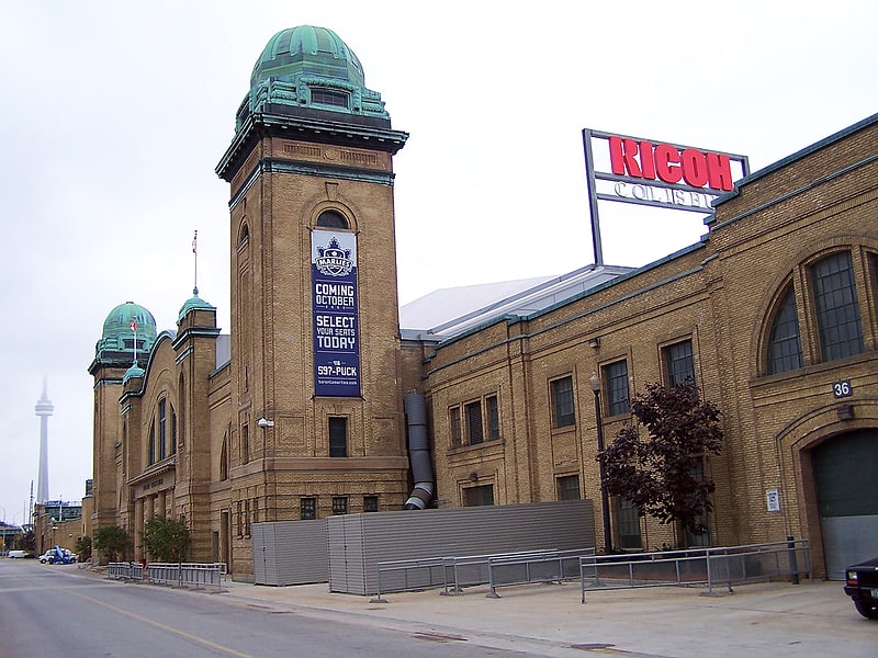
Ricoh Coliseum, Toronto
Gallery (5)
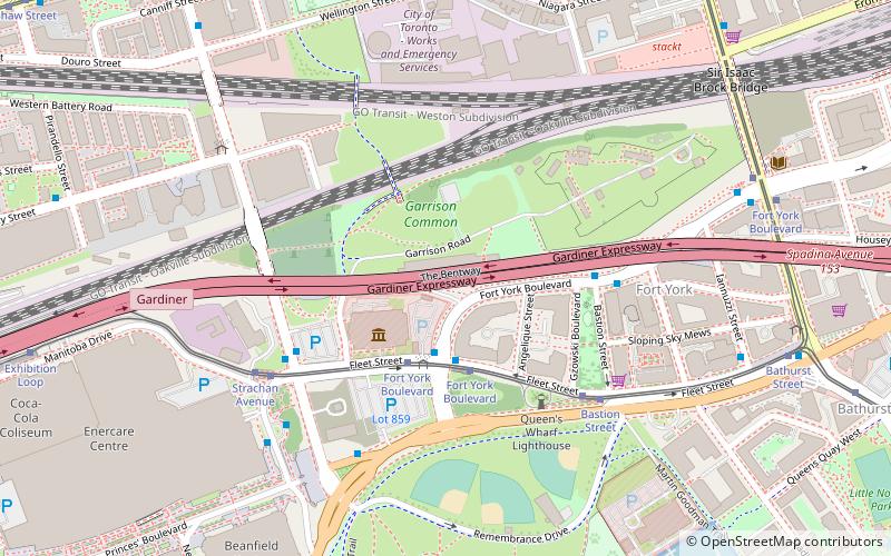
Map


Map

Gallery
Facts and practical information
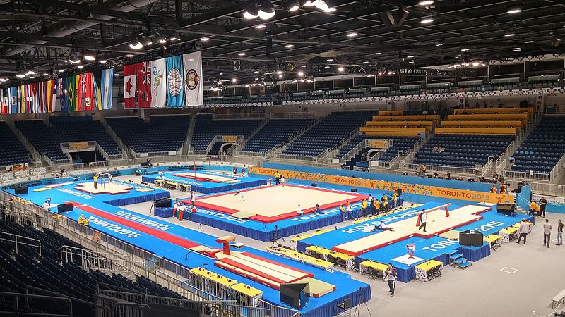
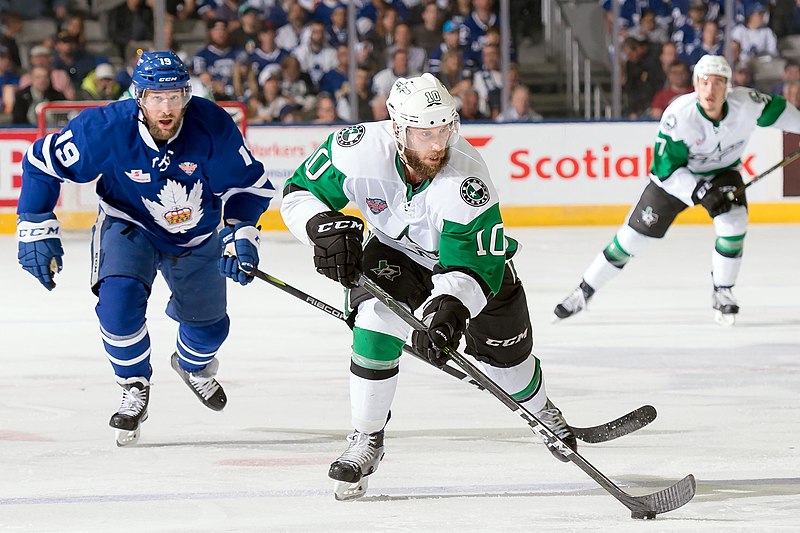
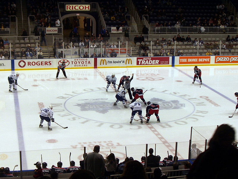
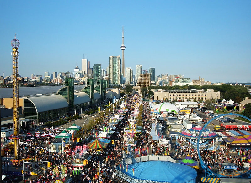
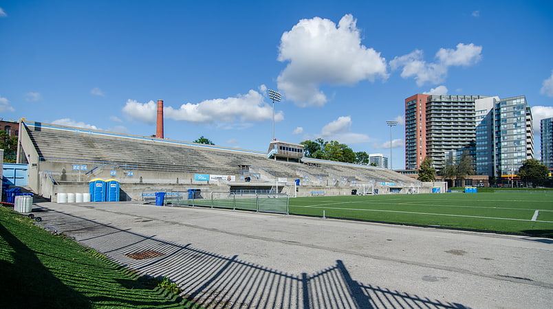
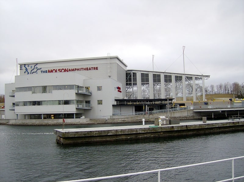
Coca-Cola Coliseum is an arena at Exhibition Place in Toronto, Ontario, Canada, used for agricultural displays, ice hockey, and trade shows. It was built for the Canadian National Exhibition and the Royal Agricultural Winter Fair in 1921. Commonly known as the Coliseum, it was formerly known as the CNE Coliseum and Ricoh Coliseum, and since 1997 it has been part of the Enercare Centre exhibition complex. It serves as the home arena of the Toronto Marlies ice hockey team, the American Hockey League farm team of the Toronto Maple Leafs. For the 2015 Pan American Games the venue hosted the gymnastics competitions and was known as the Toronto Coliseum. ()
Getting there by public transportation
Public transportation stops near this location
- Bus
- Tram
- Train
- Ferry
 Bus
Bus
- Calculate routeExhibition Loop 2 min walk
- Calculate routeStrachan Avenue 7 min walk
- Calculate routeExhibition Loop 3 min walk
- Calculate routeLynn Williams Street 7 min walk
- Calculate routeFleet Street 9 min walk
- Calculate routeAtlantic Avenue 9 min walk
- Calculate routeExhibition 6 min walk
- Calculate routeBathurst Street Terminal 22 min walk
- Calculate routeBilly Bishop Terminal 25 min walk
Maps SubwayMaps
 Streetcar systemMaps
 PATH
PATH
SubwayMapsStreetcar systemMapsPATHDay trips


Frequently Asked Questions (FAQ)
Which popular attractions are close to Ricoh Coliseum?
Nearby attractions include Enercare Centre, Toronto (2 min walk), Horse Palace, Toronto (5 min walk), Toronto Central Prison Chapel, Toronto (6 min walk), BMO Field, Toronto (7 min walk).
How to get to Ricoh Coliseum by public transport?
The nearest stations to Ricoh Coliseum:
Tram
Bus
Train
Ferry
Tram
- Exhibition Loop • Lines: 509, 511 (2 min walk)
- Strachan Avenue • Lines: 509, 511 (7 min walk)
Bus
- Exhibition Loop • Lines: 363 (3 min walk)
- Lynn Williams Street • Lines: 63 (7 min walk)
Train
- Exhibition (6 min walk)
Ferry
- Bathurst Street Terminal • Lines: Billy Bishop Airport Ferry (22 min walk)
- Billy Bishop Terminal • Lines: Billy Bishop Airport Ferry (25 min walk)