Princes' Gates, Toronto
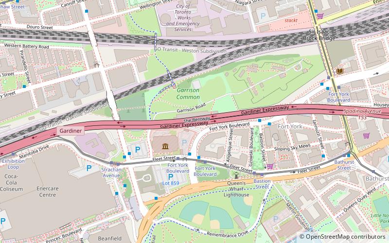
Map

Gallery
Facts and practical information
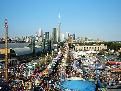
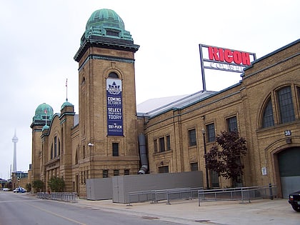
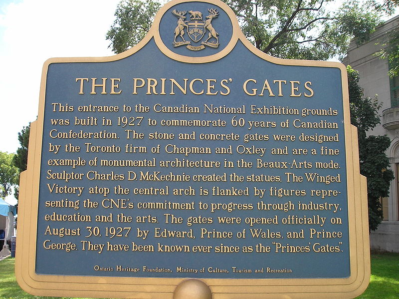
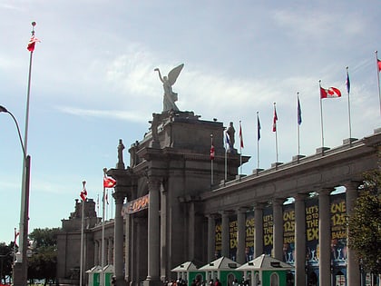
The Princes' Gates is a triumphal arch and a monumental gateway at Exhibition Place in Toronto, Ontario, Canada. Made out of cement and stone, the triumphal arch is flanked by colonnades on both of its sides, with curved pylons at both ends. The 350-foot-long structure serves as the eastern gateway to the Canadian National Exhibition, an annual agricultural and provincial fair held at Exhibition Place. ()
Length: 300 ftHeight: 65 ftCoordinates: 43°38'5"N, 79°24'34"W
Day trips
Princes' Gates – popular in the area (distance from the attraction)
Nearby attractions include: Exhibition Place, Lamport Stadium, Martin Goodman Trail, BMO Field.
Frequently Asked Questions (FAQ)
Which popular attractions are close to Princes' Gates?
Nearby attractions include Horse Palace, Toronto (3 min walk), Fort York Armoury, Toronto (5 min walk), The Royal Regiment of Canada, Toronto (5 min walk), Enercare Centre, Toronto (5 min walk).
How to get to Princes' Gates by public transport?
The nearest stations to Princes' Gates:
Tram
Bus
Train
Ferry
Metro
Tram
- Strachan Avenue • Lines: 509, 511 (3 min walk)
- Fort York Boulevard • Lines: 509, 511 (5 min walk)
Bus
- Fleet Street • Lines: 363 (4 min walk)
- Exhibition Loop • Lines: 363 (10 min walk)
Train
- Exhibition (13 min walk)
Ferry
- Bathurst Street Terminal • Lines: Billy Bishop Airport Ferry (16 min walk)
- Billy Bishop Terminal • Lines: Billy Bishop Airport Ferry (18 min walk)
Metro
- Osgoode • Lines: 1 (41 min walk)
 Subway
 Streetcar system
 PATH
PATH