Bead Hill, Toronto

Map
Facts and practical information
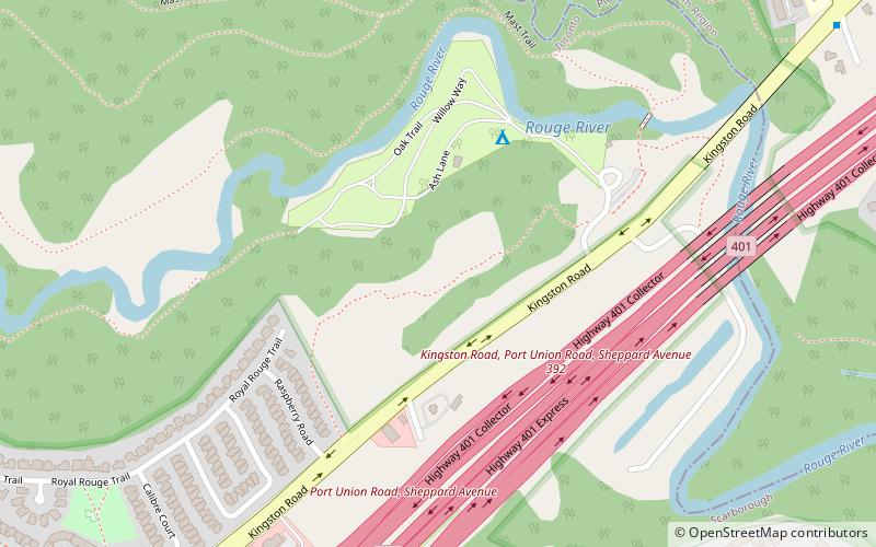
Bead Hill is an archaeological site comprising the only known remaining and intact 17th-century Seneca site in Canada. It is located along the Toronto Carrying-Place Trail on the banks of the Rouge River in Rouge Park, a city park in Toronto, Ontario. Because of its sensitive archaeological nature, it is not open to the public, nor readily identified in the park. It was designated a National Historic Site of Canada in 1991. ()
Coordinates: 43°48'15"N, 79°8'24"W
Address
Scarborough (Rouge)Toronto
ContactAdd
Social media
Add
Day trips
Bead Hill – popular in the area (distance from the attraction)
Nearby attractions include: Toronto Zoo, Pickering Town Centre, Cedarbrae Mall, Guild Park and Gardens.
Frequently Asked Questions (FAQ)
How to get to Bead Hill by public transport?
The nearest stations to Bead Hill:
Bus
Bus
- Starspray Loop at Lawrence Avenue • Lines: 54A, 954 (35 min walk)
- Meadowvale Road • Lines: 95A (37 min walk)
 Subway
 Streetcar system
 PATH
PATH


