Guildwood, Toronto

Gallery (4)
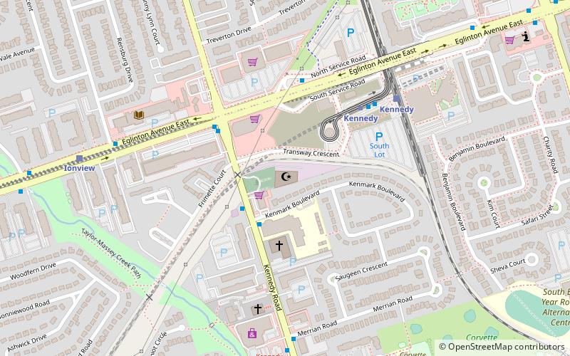
Map

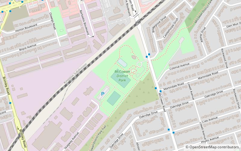
Map
Gallery
Facts and practical information
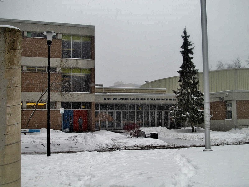
Guildwood, also known as Guildwood Village, is a residential neighbourhood in Scarborough, Toronto, Ontario, Canada. It is located along the Scarborough Bluffs, south of Kingston Road, from Grey Abbey Trail in the east. ()
Coordinates: 43°44'42"N, 79°11'46"W
Address
Scarborough (Guildwood)Toronto
ContactAdd
Social media
Add
Getting there by public transportation
Public transportation stops near this location
- Bus
- Train
 Bus
Bus
- Calculate routeGuildwood 19 min walk
- Calculate routeKingston Road 21 min walk
- Calculate routeCeleste Drive 22 min walk
- Calculate routeEglinton Avenue at Markham Road 30 min walk
- Calculate routeGalloway Road 31 min walk
Maps SubwayMaps
 Streetcar systemMaps
 PATH
PATH
SubwayMapsStreetcar systemMapsPATHDay trips


Frequently Asked Questions (FAQ)
How to get to Guildwood by public transport?
The nearest stations to Guildwood:
Train
Bus
Train
- Guildwood (19 min walk)
Bus
- Kingston Road • Lines: 198 (21 min walk)
- Celeste Drive • Lines: 198 (22 min walk)