Granville Island, Vancouver
Map
Gallery
Facts and practical information
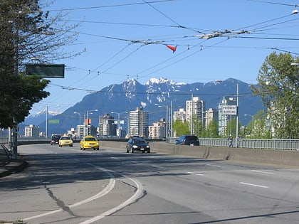
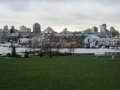
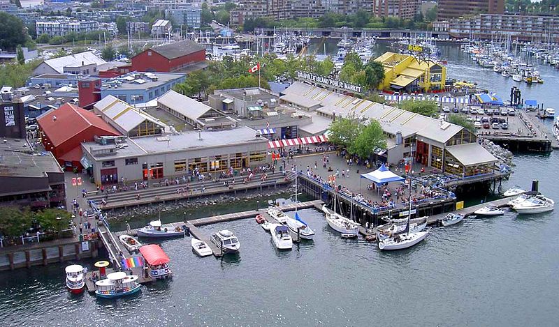
Granville Island is a peninsula and shopping district in Vancouver, British Columbia, Canada. It is located across False Creek from Downtown Vancouver under the south end of the Granville Street Bridge. The peninsula was once an industrial manufacturing area, but today it is a hotspot for Vancouver tourism and entertainment. Some Vancouver based tour companies, such as Discover Vancouver Tours and Vancity Tours, offer stops at Granville Island. The area was named after Granville Leveson-Gower, 2nd Earl Granville. ()
Day trips
Granville Island – popular in the area (distance from the attraction)
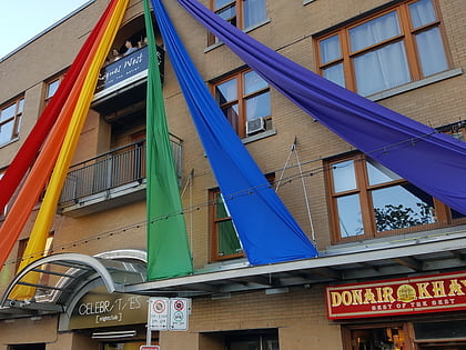
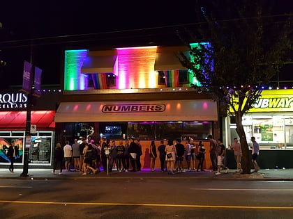
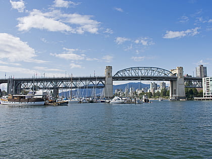
Nearby attractions include: Celebrities Nightclub, Vancouver Maritime Museum, Numbers, Burrard Street Bridge.
Frequently Asked Questions (FAQ)
Which popular attractions are close to Granville Island?
Nearby attractions include Gallery of BC Ceramics, Vancouver (2 min walk), Pelican Bay Marina, Vancouver (6 min walk), George Wainborn Park, Vancouver (7 min walk), Granville Street Bridge, Vancouver (8 min walk).
How to get to Granville Island by public transport?
The nearest stations to Granville Island:
Ferry
Bus
Trolleybus
Metro
Train
Ferry
- Granville Island Terminal • Lines: Aquabus (4 min walk)
- Granville Island Dock • Lines: False Creek Ferries Route 1, False Creek Ferries Route 2, False Creek Ferries Route 3 (6 min walk)
Bus
- West 2nd Avenue at Anderson Street • Lines: 50 (6 min walk)
- Lamey's Mill Road at Alder Crossing • Lines: 50 (8 min walk)
Trolleybus
- West 5th Avenue at Granville Street • Lines: 14, 4, 7 (9 min walk)
- Granville St at West 5th Ave • Lines: 10, 14, 16 (9 min walk)
Metro
- Yaletown-Roundhouse • Lines: Canada Line (16 min walk)
- Olympic Village • Lines: Canada Line (23 min walk)
Train
- Waterfront (38 min walk)



 SkyTrain