Sw̓iw̓s Provincial Park, Osoyoos
Map

Map

Facts and practical information
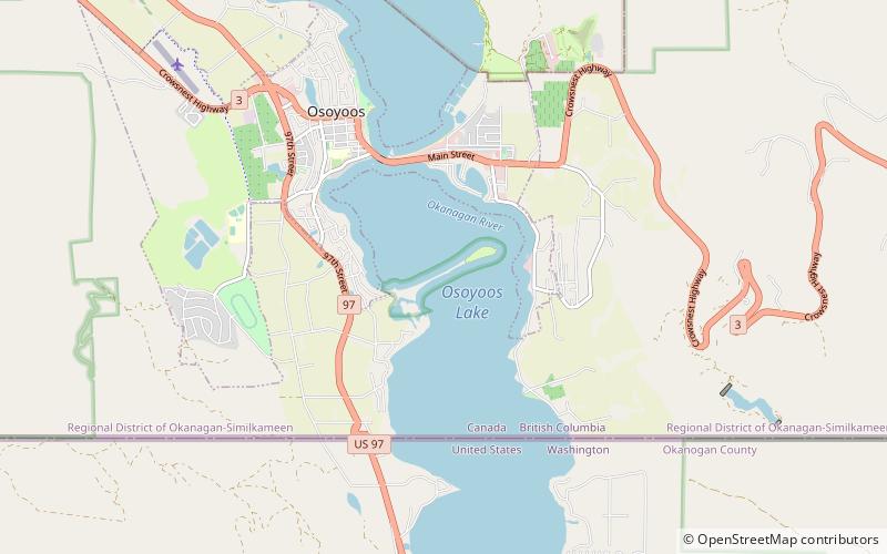
sw̓iw̓s Provincial Park is a provincial park in British Columbia, Canada, located on the west side of Osoyoos Lake in the town of Osoyoos, which is on the Canada-United States border at the southern end of the Okanagan region of British Columbia. Approximately 38 hectares in size, the park was originally created in 1939. The name was changed from Haynes Point to sw̓iw̓s, the original Okanagan name for the region, meaning "narrowing of the waters". ()
Established: 1939 (87 years ago)Elevation: 906 ft a.s.l.Coordinates: 49°0'59"N, 119°26'60"W
Address
Osoyoos
ContactAdd
Social media
Add
Day trips
Sw̓iw̓s Provincial Park – popular in the area (distance from the attraction)
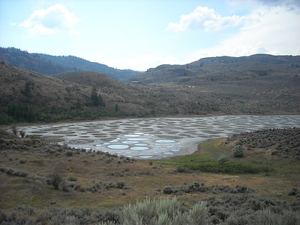
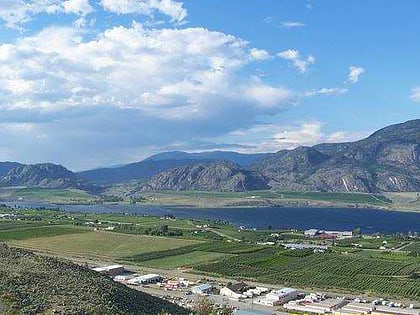
Nearby attractions include: Spotted Lake, Osoyoos Lake, Rattlesnake Canyon Amusement Park, Osoyoos Desert Model Railroad.


