Hochelaga, Montreal
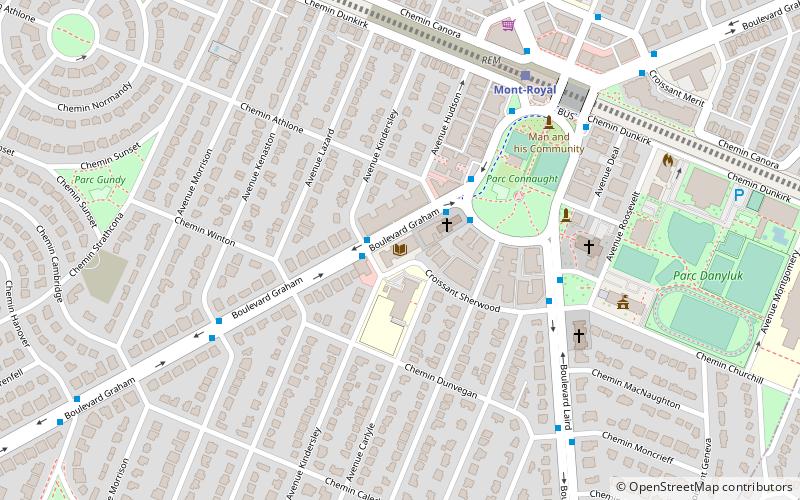
Map
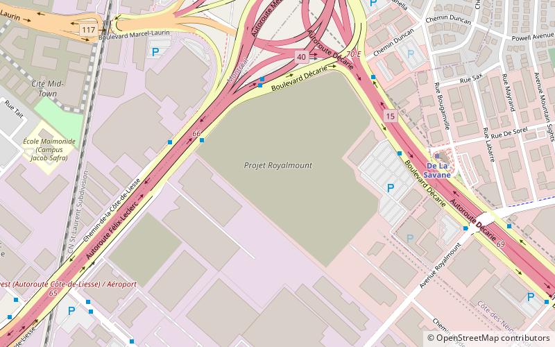
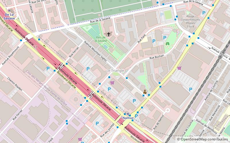
Map

Facts and practical information
Hochelaga was a St. Lawrence Iroquoian 16th century fortified village on or near Mount Royal in present-day Montreal, Quebec, Canada. Jacques Cartier arrived by boat on October 2, 1535; he visited the village on the following day. He was greeted well by the Iroquoians, and named the mountain he saw nearby Mount Royal. Several names in and around Montreal and the Hochelaga Archipelago can be traced back to him. ()
Alternative names: Maximum elevation: 764 ftMinimal elevation: 20 ftCoordinates: 45°30'0"N, 73°40'0"W
Address
Ahuntsic-Cartierville (Mont-Royal)Montreal
ContactAdd
Social media
Add
Day trips
Hochelaga – popular in the area (distance from the attraction)
Nearby attractions include: Décarie Interchange, Congregation Dorshei Emet, Reginald J. P. Dawson Library, Baron de Hirsch Cemetery.
Frequently Asked Questions (FAQ)
Which popular attractions are close to Hochelaga?
Nearby attractions include Décarie Interchange, Montreal (10 min walk), Baron de Hirsch Cemetery, Montreal (16 min walk), Le Triangle, Montreal (17 min walk), Greater Montreal, Montreal (18 min walk).
How to get to Hochelaga by public transport?
The nearest stations to Hochelaga:
Bus
Metro
Bus
- Décarie / Côte-de-Liesse • Lines: 17-S (4 min walk)
- Côte-de-Liesse Nord / No 5415 • Lines: 100-O (5 min walk)
Metro
- De La Savane • Lines: 2 (7 min walk)
- Du Collège • Lines: 2 (17 min walk)

 Metro
Metro

