Décarie Interchange, Montreal
Map
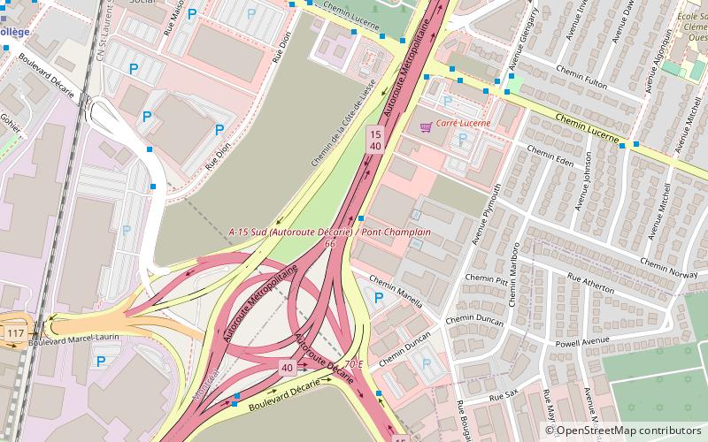
Map

Facts and practical information
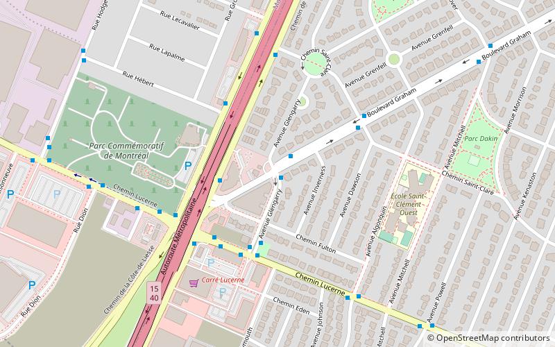
The Décarie Interchange is a highway interchange located on the island of Montreal, Quebec, Canada. ()
Coordinates: 45°30'18"N, 73°39'52"W
Address
Ahuntsic-Cartierville (Mont-Royal)Montreal
ContactAdd
Social media
Add
Day trips
Décarie Interchange – popular in the area (distance from the attraction)
Nearby attractions include: Reginald J. P. Dawson Library, Baron de Hirsch Cemetery, Mount Royal, Côte-Vertu Boulevard.
Frequently Asked Questions (FAQ)
Which popular attractions are close to Décarie Interchange?
Nearby attractions include Greater Montreal, Montreal (9 min walk), Hochelaga, Montreal (10 min walk), Baron de Hirsch Cemetery, Montreal (14 min walk), Le Triangle, Montreal (19 min walk).
How to get to Décarie Interchange by public transport?
The nearest stations to Décarie Interchange:
Bus
Metro
Bus
- Côte-de-Liesse / Décarie • Lines: 100-E, 17-N (1 min walk)
- Côte-de-Liesse / Lucerne • Lines: 100-E (5 min walk)
Metro
- De La Savane • Lines: 2 (9 min walk)
- Du Collège • Lines: 2 (13 min walk)

 Metro
Metro